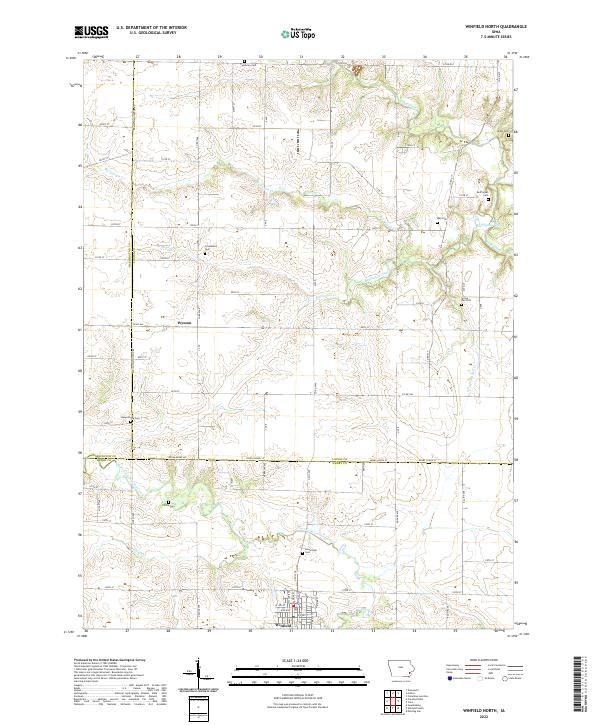
2022 Map of Winfield North
USGS Topo · Published 2022About this map
Wyman and the northern reaches of Winfield anchor this southeastern Iowa landscape, where agricultural tradition is etched into a network of section-line roads and winding creek beds. The area is particularly rich in genealogical sites, with numerous small burial grounds such as Cambrian Cem, Covenantor Cem, and Beauchamp Cem scattered across the countryside. These sites, often positioned on higher ground near watercourses like Buffington Cr or Big Slough Cr, reflect the early settlement patterns of Louisa and Henry Counties. The map captures the interface of established townships, marked by historical boundaries like t75n r5w, and the natural drainage systems of East Fork Crooked Creek and Long Creek. This survey provides a precise accounting of rural infrastructure, from the county road system including Co RD w66 to the quiet crossings of Spring Run Cr.
Find a feature on this map
73 named features on this map. Tap any name to fly to it.
Don’t see what you’re looking for? This feature index may not catch every label — zoom into the map to look around manually.
Map Details
Editions of this 2022 Winfield North Map
This is the sole edition of this map. No revisions or reprints were ever made.
Other maps of this area

1958 · Davenport
USGS Topo · 1:250,000

1961 · Davenport
USGS Topo · 1:250,000

1962 · Davenport
USGS Topo · 1:250,000

1970 · Cotter
USGS Topo · 1:24,000
1970 · Columbus Junction
USGS Topo · 1:24,000

1970 · Ainsworth
USGS Topo · 1:24,000
1981 · Cairo
USGS Topo · 1:24,000
1981 · Crawfordsville
USGS Topo · 1:24,000
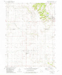
1981 · Morning Sun
USGS Topo · 1:24,000
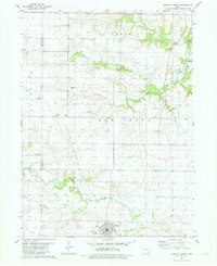
1981 · Winfield North
USGS Topo · 1:24,000