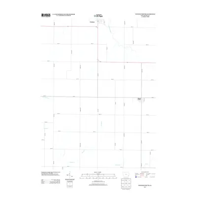
2013 Map of Winfield South
USGS Topo · Published 2013About this map
Winfield and Mount Union anchor this survey of the agricultural heartland in Henry and Louisa Counties. The landscape is defined by a dense grid of rural corridors like Marsh Ave and Quaker Ave that partition the fertile terrain. These roads facilitate transport between small town centers and the numerous creek systems that drain the region. Notable waterways include the E Fork Crooked Cr in the north and the multi-branched N Br Big Cr flowing toward the south. The map illustrates the persistent 19th-century land-division patterns still in use during the early 2010s, with features such as Little Potomac Cr and Lawrence Cr providing natural breaks in the geometric precision of the roadway network.
Find a feature on this map
31 named features on this map. Tap any name to fly to it.
Don’t see what you’re looking for? This feature index may not catch every label — zoom into the map to look around manually.
Map Details
Editions of this 2013 Winfield South Map
This is the sole edition of this map. No revisions or reprints were ever made.
Other maps of this area

1958 · Burlington
USGS Topo · 1:250,000

1958 · Davenport
USGS Topo · 1:250,000

1961 · Burlington
USGS Topo · 1:250,000

1961 · Davenport
USGS Topo · 1:250,000

1962 · Davenport
USGS Topo · 1:250,000

1963 · Burlington
USGS Topo · 1:250,000
1981 · Cairo
USGS Topo · 1:24,000

1981 · Mount Pleasant
USGS Topo · 1:24,000
1981 · Crawfordsville
USGS Topo · 1:24,000
1981 · Morning Sun
USGS Topo · 1:24,000