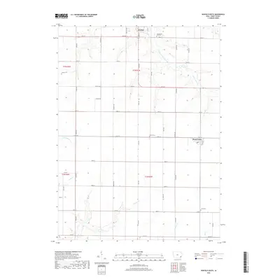
2018 Map of Winfield South
USGS Topo · Published 2018About this map
Winfield and Mount Union anchor this agrarian landscape in Henry County, Iowa, reflecting a classic Midwestern section-line grid of rural roads and scattered homesteads. The terrain is defined by the winding drainages of East Fork Crooked Creek to the north and Spring Creek and N Br Big Creek to the south. These watercourses break the geometric precision of the fields, creating wooded riparian corridors that weave through the townships.
Find a feature on this map
42 named features on this map. Tap any name to fly to it.
Don’t see what you’re looking for? This feature index may not catch every label — zoom into the map to look around manually.
Map Details
Editions of this 2018 Winfield South Map
This is the sole edition of this map. No revisions or reprints were ever made.
Other maps of this area

1958 · Burlington
USGS Topo · 1:250,000

1958 · Davenport
USGS Topo · 1:250,000

1961 · Burlington
USGS Topo · 1:250,000

1961 · Davenport
USGS Topo · 1:250,000

1962 · Davenport
USGS Topo · 1:250,000

1963 · Burlington
USGS Topo · 1:250,000
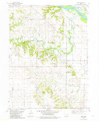
1981 · Cairo
USGS Topo · 1:24,000

1981 · Mount Pleasant
USGS Topo · 1:24,000
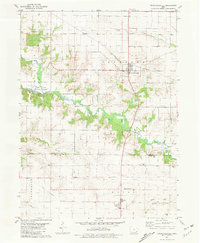
1981 · Crawfordsville
USGS Topo · 1:24,000
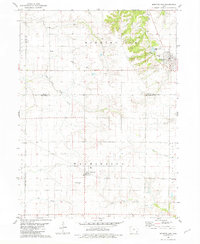
1981 · Morning Sun
USGS Topo · 1:24,000