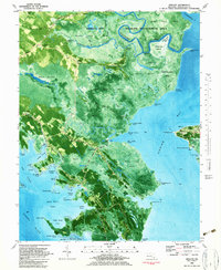
1982 Map of Wingate
USGS Topo · Published 1983About this map
The Fishing Bay Wildlife Management Area dominates this coastal landscape, where the Blackwater River and Transquaking River meet the Chesapeake bay waters. The transition from terrestrial to aquatic life is marked by the Great Marsh and Beech Ground Swamp, which separate scattered inland settlements from the intricate shoreline. Isolated communities like Toddville, Bishops Head, and Wingate are linked by rural routes such as Wingate Road and Toddville Road, following the high ground of Edgars Ridge.
Find a feature on this map
83 named features on this map. Tap any name to fly to it.
Don’t see what you’re looking for? This feature index may not catch every label — zoom into the map to look around manually.
Map Details
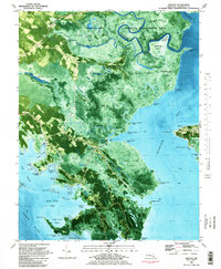
Editions of this 1982 Wingate Map
2 editions found
Other maps of this area

1898 · St. Marys
USGS Topo · 1:125,000

1903 · Nanticoke
USGS Topo · 1:62,500

1903 · Bloodsworth Island
USGS Topo · 1:62,500

1903 · Deal Island
USGS Topo · 1:62,500

1905 · Crapo
USGS Topo · 1:62,500

1906 · St. Marys
USGS Topo · 1:125,000

1942 · Bloodsworth Island
USGS Topo · 1:24,000

1942 · Richland Point
USGS Topo · 1:24,000
1942 · Honga
USGS Topo · 1:24,000

1942 · Deal Island
USGS Topo · 1:24,000