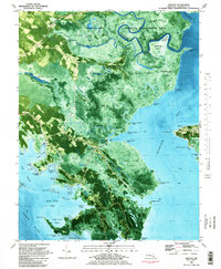
1982 Map of Wingate
USGS Topo · Published 1983About this map
The Fishing Bay Wildlife Management Area dominates this coastal landscape, where the Blackwater River and Transquaking R meet the tidal reaches of the Chesapeake. This 1982 orthophotomap provides a hybrid look at the Dorchester County shoreline, combining topographic detail with aerial imagery to reveal the complex network of guts and marshes such as Thorofare Marsh and Becker Island Marsh. Small settlements like Wingate, Toddville, and Crapo are concentrated along the narrow ridges and road corridors of Wingate Road and Roddville Road.
Find a feature on this map
80 named features on this map. Tap any name to fly to it.
Don’t see what you’re looking for? This feature index may not catch every label — zoom into the map to look around manually.
Map Details
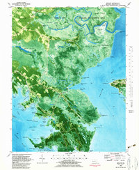
Editions of this 1982 Wingate Map
2 editions found
Other maps of this area

1898 · St. Marys
USGS Topo · 1:125,000

1903 · Nanticoke
USGS Topo · 1:62,500

1903 · Bloodsworth Island
USGS Topo · 1:62,500

1903 · Deal Island
USGS Topo · 1:62,500

1905 · Crapo
USGS Topo · 1:62,500

1906 · St. Marys
USGS Topo · 1:125,000

1942 · Bloodsworth Island
USGS Topo · 1:24,000

1942 · Richland Point
USGS Topo · 1:24,000
1942 · Honga
USGS Topo · 1:24,000

1942 · Deal Island
USGS Topo · 1:24,000