
1950 Map of Wingate Wash
USGS Topo · Published 1952About this map
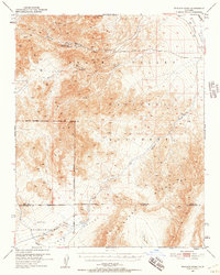
Indian Ranch stands as a focal point of human habitation in this 1950s survey of the harsh high-desert terrain where the Panamint Range meets the depths of Death Valley. The landscape is defined by its scarce water sources and mineral extraction history, evidenced by Warm Spring and the Warm Spring Mine. Mining activity is further noted at the Queen of Sheba Mine and various unnamed Mines and Prospect locations scattered across the canyons.
Find a feature on this map
26 named features on this map. Tap any name to fly to it.
Don’t see what you’re looking for? This feature index may not catch every label — zoom into the map to look around manually.
Map Details
Editions of this 1950 Wingate Wash Map
4 editions found
Other maps of this area

1908 · Furnace Creek
USGS Topo · 1:250,000

1908 · Ballarat
USGS Topo · 1:250,000

1910 · Furnace Creek
USGS Topo · 1:250,000

1913 · Ballarat
USGS Topo · 1:250,000

1915 · Searles Lake
USGS Topo · 1:250,000

1933 · Avawatz Mountains
USGS Topo · 1:250,000

1947 · Trona
USGS Topo · 1:250,000

1948 · Trona
USGS Topo · 1:250,000

1948 · Death Valley
USGS Topo · 1:250,000

1948 · Quail Mountains
USGS Topo · 1:62,500