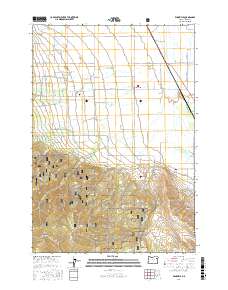
2017 Map of Wingville
USGS Topo · Published 2017About this map
The Baker Valley floor meets the rising slopes of the Elkhorn Mountains in this detailed survey of northeastern Oregon. At the center of the agricultural landscape lies Wingville, a rural community defined by a grid of local roads like Wingville LN and Old Wingville RD. This area preserves significant local history, notably at the Wingville Cem and through the complex water management systems essential to the region's ranching and municipal needs, including the Payton Ditch, Phillips Ditch, and the Baker Municipal Aqueduct. To the south, the terrain transitions into the protected lands of the Whitman National Forest, where steep drainages such as Dutch Gulch and Rouen Gulch carve through the timbered foothills, illustrating the divide between the irrigated valley floor and the high-elevation wilderness.
Find a feature on this map
63 named features on this map. Tap any name to fly to it.
Don’t see what you’re looking for? This feature index may not catch every label — zoom into the map to look around manually.
Map Details
Editions of this 2017 Wingville Map
This is the sole edition of this map. No revisions or reprints were ever made.
Other maps of this area

1901 · Baker City
USGS Topo · 1:125,000

1901 · Sumpter
USGS Topo · 1:125,000

1955 · Baker
USGS Topo · 1:250,000

1955 · Canyon City
USGS Topo · 1:250,000

1959 · Baker
USGS Topo · 1:250,000

1959 · Canyon City
USGS Topo · 1:250,000

1967 · Baker
USGS Topo · 1:24,000
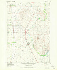
1967 · Haines
USGS Topo · 1:24,000
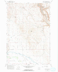
1967 · Magpie Peak
USGS Topo · 1:24,000

1967 · Blue Canyon
USGS Topo · 1:24,000