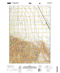
2020 Map of Wingville
USGS Topo · Published 2020About this map
Wingville and its surrounding agricultural valley are defined by a complex network of water management features designed to sustain the Baker Valley. The landscape is divided between the irrigated lowlands and the rising slopes of the Elkhorn Mountains to the southwest. Vital infrastructure like the Payton Ditch, Phillips Ditch, and the Baker Municipal Aqueduct channel water from the high country toward the farms and settlements below. The presence of the Wingville Cem and established roads such as Schoolhouse Rd and Old Wingville Rd point to the long-standing community roots in this part of Baker County.
Find a feature on this map
62 named features on this map. Tap any name to fly to it.
Don’t see what you’re looking for? This feature index may not catch every label — zoom into the map to look around manually.
Map Details
Editions of this 2020 Wingville Map
This is the sole edition of this map. No revisions or reprints were ever made.
Other maps of this area

1901 · Baker City
USGS Topo · 1:125,000

1901 · Sumpter
USGS Topo · 1:125,000

1955 · Baker
USGS Topo · 1:250,000

1955 · Canyon City
USGS Topo · 1:250,000

1959 · Baker
USGS Topo · 1:250,000

1959 · Canyon City
USGS Topo · 1:250,000

1967 · Baker
USGS Topo · 1:24,000
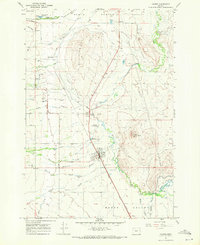
1967 · Haines
USGS Topo · 1:24,000
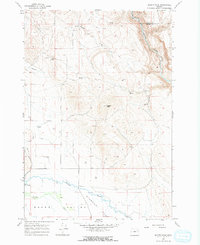
1967 · Magpie Peak
USGS Topo · 1:24,000

1967 · Blue Canyon
USGS Topo · 1:24,000