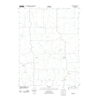
1963 Map of Winigan
USGS Topo · Published 1965About this map
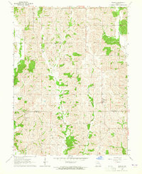
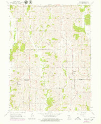
Winigan and North Salem anchor this rural landscape along the border of Sullivan and Linn Counties in the early 1960s. The terrain is defined by the branching drainage systems of West Yellow Creek and East Yellow Creek, which carve through the townships of Morris and North Salem. This era shows a high density of small family and community landmarks, particularly churches like Union Baker Ch and Fairview Ch, alongside numerous small burial grounds including Bunch Cem and Halsel Cem. The settlement at Bute and the network of unimproved dirt roads suggest a quiet agricultural region where local geography was still largely dictated by the winding paths of waterways like Mussel Fork and Winigan Creek. This survey captures the rural character of northern Missouri just as modern infrastructure began to further consolidate these smaller farming communities.
Find a feature on this map
23 named features on this map. Tap any name to fly to it.
Don’t see what you’re looking for? This feature index may not catch every label — zoom into the map to look around manually.
Map Details
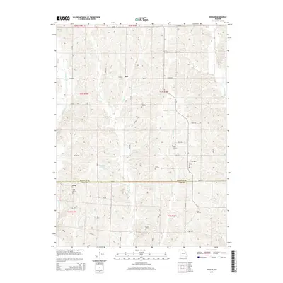
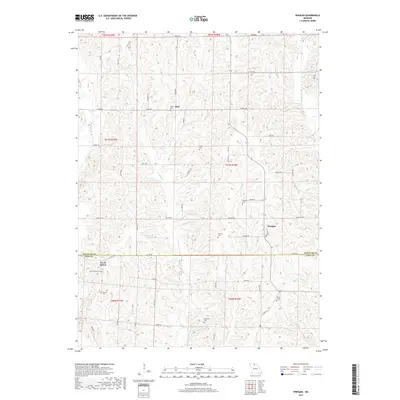
Editions of this 1963 Winigan Map
2 editions found
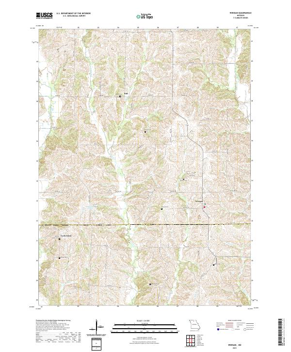
Historical Maps of Sedgwick Through Time
5 maps found