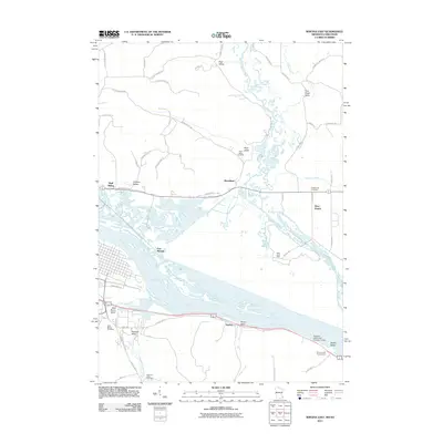
2011 Map of Winona East
USGS Topo · Published 2011About this map
The Mississippi River corridor dominates this 2011 survey, showing the complex braided channels and wetlands where the Trempealeau River and Tamarack Creek meet the main valley floor. Settlement is concentrated along the terrace edges and bluffs, with small communities like Bluff Siding and Marshland appearing north of the river, while Homer and East Winona occupy the southern banks. The map provides significant detail for local historians and genealogists, locating several family and community burial grounds including Piper Valley Cemetery, Greenwood Cemetery, and Saint Marys Cemetery. Evidence of water management and agricultural development is seen in features like the Delta Land Farm and the Pleasant Valley Site Number 12 Dam, illustrating the late-20th-century landscape of the upper Mississippi region.
Find a feature on this map
58 named features on this map. Tap any name to fly to it.
Don’t see what you’re looking for? This feature index may not catch every label — zoom into the map to look around manually.
Map Details
Editions of this 2011 Winona East Map
This is the sole edition of this map. No revisions or reprints were ever made.
Other maps of this area

1929 · Fountain City
USGS Topo · 1:62,500

1929 · Galesville
USGS Topo · 1:62,500

1930 · La Crescent
USGS Topo · 1:62,500

1934 · Winona
USGS Topo · 1:62,500

1937 · Winona
USGS Topo · 1:62,500

1953 · Eau Claire
USGS Topo · 1:250,000

1956 · La Crescent
USGS Topo · 1:62,500

1958 · Eau Claire
USGS Topo · 1:250,000

1958 · Houston
USGS Topo · 1:62,500

1958 · La Crosse
USGS Topo · 1:250,000