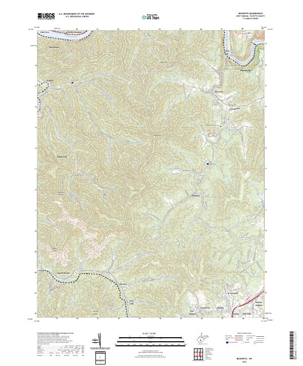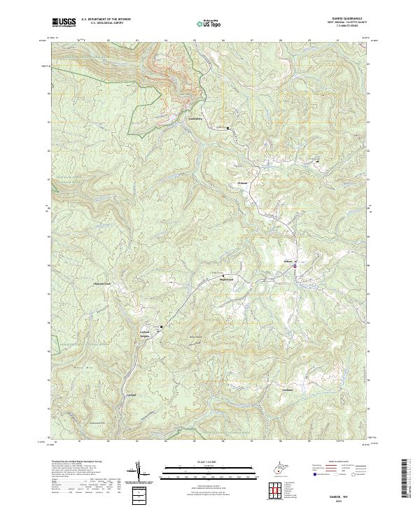
2023 Map of Winona
USGS Topo · Published 2023About this map
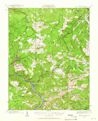
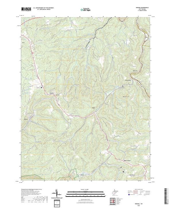
Winona and its surrounding ridge-top settlements are situated amidst the deeply dissected plateaus of West Virginia, where the landscape is defined by its transition from the rolling heights of The Divide to the steep canyon of the New River-Gorge National River. The map captures a topography marked by centuries of erosion, with major waterways like the Meadow River and Manns Creek-Gorge carving through the terrain. Evidence of the region’s timber and coal history is present in the form of the Meadow River Rail-Trl, which traces the river's path through the northeastern corner of the sheet. Rural life is anchored by family landmarks and small communities such as Hico, Lookout, and Divide. The presence of several historic burial grounds, including the Brackens Creek Church Cem and Amick Cem, offers important touchstones for genealogists tracing local families in the Hogpen Ridge and Crooked Ridge areas.
Find a feature on this map
88 named features on this map. Tap any name to fly to it.
Don’t see what you’re looking for? This feature index may not catch every label — zoom into the map to look around manually.
Map Details
Editions of this 2023 Winona Map
This is the sole edition of this map. No revisions or reprints were ever made.
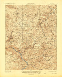
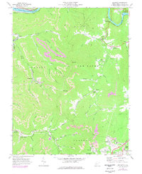
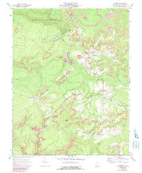
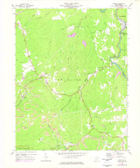
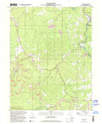
Historical Maps of Lookout Through Time
9 maps found