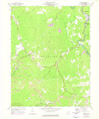
1969 Map of Winona
USGS Topo · Published 1977About this map
The Chesapeake and Ohio railway corridor defines the industrial character of this West Virginia landscape, following the winding Meadow River as it carves through the central highlands. This survey documents a critical transition in extraction methods, where traditional subsurface mining infrastructure like the Air Shaft Mine near Medo sits alongside the expansive Strip Mine operations that reshape the topography around Winona.
Find a feature on this map
53 named features on this map. Tap any name to fly to it.
Don’t see what you’re looking for? This feature index may not catch every label — zoom into the map to look around manually.
Map Details
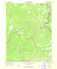
Editions of this 1969 Winona Map
2 editions found
Other maps of this area

1887 · Hinton
USGS Topo · 1:125,000

1889 · Nicholas
USGS Topo · 1:125,000

1891 · Nicholas
USGS Topo · 1:125,000

1891 · Raleigh
USGS Topo · 1:125,000

1892 · Hinton
USGS Topo · 1:125,000

1897 · Kanawha Falls
USGS Topo · 1:125,000

1897 · Raleigh
USGS Topo · 1:125,000

1900 · Kanawha Falls
USGS Topo · 1:125,000

1901 · Nicholas
USGS Topo · 1:125,000

1901 · Kanawha Falls
USGS Topo · 1:125,000