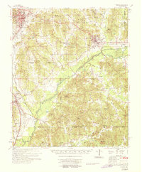
1968 Map of Winona
USGS Topo · Published 1968About this map
Big Black River flows through the heart of Montgomery County, marking a landscape defined by small rural communities and a dense network of country churches. The Illinois Central railroad corridor anchors the western edge of the map, connecting the primary hubs of Winona and Vaiden. The area is notably dense with local-history markers, from family-named cemeteries like Everette Cem and Griffin Cem to spiritual landmarks such as Nations Poplar Creek Ch and Wesley Chapel.
Find a feature on this map
86 named features on this map. Tap any name to fly to it.
Don’t see what you’re looking for? This feature index may not catch every label — zoom into the map to look around manually.
Map Details
Editions of this 1968 Winona Map
This is the sole edition of this map. No revisions or reprints were ever made.
Other maps of this area
1953 · Walthall
USGS Topo · 1:62,500

1953 · West Point
USGS Topo · 1:250,000
1954 · Duck Hill
USGS Topo · 1:62,500
1954 · McCarley
USGS Topo · 1:62,500

1958 · West Point
USGS Topo · 1:250,000

1963 · West Point
USGS Topo · 1:250,000
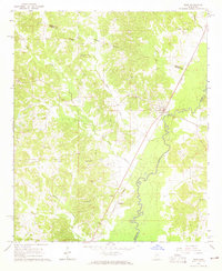
1964 · West
USGS Topo · 1:24,000
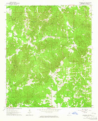
1964 · Kosciusko NE
USGS Topo · 1:24,000
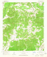
1964 · Hesterville
USGS Topo · 1:24,000
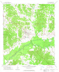
1966 · Kilmichael
USGS Topo · 1:24,000