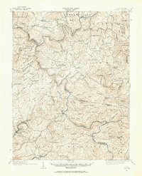
1914 Map of Winona
USGS Topo · Published 1965About this map
Carnifex Ferry marks a critical crossing point on the Gauley River, reflecting the early 20th-century dependence on river-and-road connectivity in central West Virginia. The landscape is defined by the winding courses of the Gauley and Meadow River, which meet near the southern edge of the quadrangle. Significant local infrastructure includes Shawver Bridge, Hughes Ferry Bridge, and the Prader Ford, indicating the historical routes used before modern highway expansion.
Find a feature on this map
136 named features on this map. Tap any name to fly to it.
Don’t see what you’re looking for? This feature index may not catch every label — zoom into the map to look around manually.
Map Details
Editions of this 1914 Winona Map
2 editions found

Other maps of this area

1887 · Hinton
USGS Topo · 1:125,000

1889 · Nicholas
USGS Topo · 1:125,000

1891 · Nicholas
USGS Topo · 1:125,000

1891 · Raleigh
USGS Topo · 1:125,000

1892 · Hinton
USGS Topo · 1:125,000

1897 · Kanawha Falls
USGS Topo · 1:125,000

1897 · Raleigh
USGS Topo · 1:125,000

1900 · Kanawha Falls
USGS Topo · 1:125,000

1901 · Nicholas
USGS Topo · 1:125,000

1901 · Kanawha Falls
USGS Topo · 1:125,000