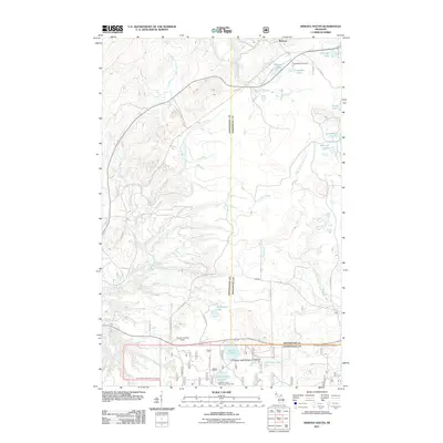
2011 Map of Winona South
USGS Topo · Published 2011About this map
Woodland Cemetery and the settlement of Winona anchor the northern reaches of this landscape, a region defined by a complex network of waterways in the Michigan copper country. The terrain is a mosaic of small glacial lakes, including Cemetery Lake, Bohmier Lake, and Sixmile Lake, which feed into major drainages like the East Branch Firesteel River and the West Branch Otter River. Evidence of former industrial activity is visible through the Old Railroad grade that cuts through the center of the quadrangle, passing near the small settlement of Mottley. To the south, the Courtney Lake Camp and Picnic Area serves as a recreational hub, while the Simar Landing Strip provides an interesting look at local aviation infrastructure in this heavily forested area.
Find a feature on this map
36 named features on this map. Tap any name to fly to it.
Don’t see what you’re looking for? This feature index may not catch every label — zoom into the map to look around manually.
Map Details
Editions of this 2011 Winona South Map
This is the sole edition of this map. No revisions or reprints were ever made.
Other maps of this area

1949 · Rockland
USGS Topo · 1:62,500

1950 · Greenland
USGS Topo · 1:62,500

1951 · Rockland
USGS Topo · 1:62,500

1951 · Greenland
USGS Topo · 1:62,500

1954 · Rousseau
USGS Topo · 1:62,500

1954 · Winona
USGS Topo · 1:62,500

1958 · Iron River
USGS Topo · 1:250,000

1960 · Iron River
USGS Topo · 1:250,000

1961 · Iron River
USGS Topo · 1:250,000

1967 · Iron River
USGS Topo · 1:250,000