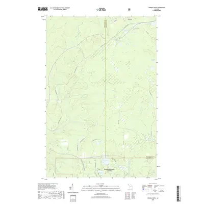
2019 Map of Winona South
USGS Topo · Published 2019About this map
Winona sits at the northern edge of this landscape, a remnant of the Copper Country's mining era where the Bill Nicholls Route now follows the path of former industrial rail lines. The terrain is defined by a dense network of water bodies and drainage systems, including Cemetery Lake near the Woodland Cem and the larger Butterfield Lake further south. These waterways, such as the E Br Firesteel River and W Br Otter River, carve through the timberlands that now comprise the Ottawa National Forest.
Find a feature on this map
41 named features on this map. Tap any name to fly to it.
Don’t see what you’re looking for? This feature index may not catch every label — zoom into the map to look around manually.
Map Details
Editions of this 2019 Winona South Map
This is the sole edition of this map. No revisions or reprints were ever made.
Other maps of this area

1949 · Rockland
USGS Topo · 1:62,500

1950 · Greenland
USGS Topo · 1:62,500

1951 · Rockland
USGS Topo · 1:62,500

1951 · Greenland
USGS Topo · 1:62,500

1954 · Rousseau
USGS Topo · 1:62,500

1954 · Winona
USGS Topo · 1:62,500

1958 · Iron River
USGS Topo · 1:250,000

1960 · Iron River
USGS Topo · 1:250,000

1961 · Iron River
USGS Topo · 1:250,000

1967 · Iron River
USGS Topo · 1:250,000