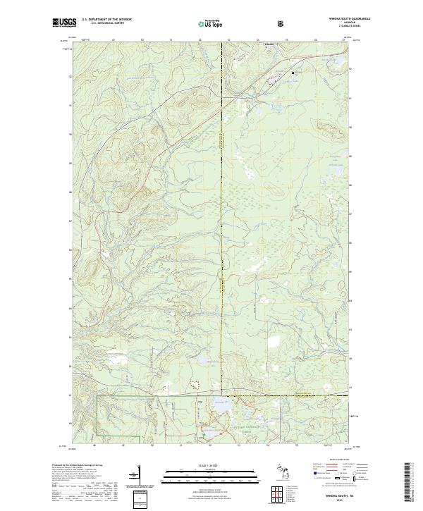
2023 Map of Winona South
USGS Topo · Published 2023About this map
The settlement of Winona sits at the northern edge of this terrain, where the historic legacy of the Copper Country is etched into the landscape via the Bill Nicholls Route Trl and various stretches of Old Railroad Grade. This area of the Upper Peninsula is defined by a complex drainage network, featuring the East Branch Firesteel River and East Sleeping River winding through the timberlands. Local history is anchored at the Woodland Cem, located near Cemetery Lake and the larger Winona Lake.
Find a feature on this map
41 named features on this map. Tap any name to fly to it.
Don’t see what you’re looking for? This feature index may not catch every label — zoom into the map to look around manually.
Map Details
Editions of this 2023 Winona South Map
This is the sole edition of this map. No revisions or reprints were ever made.
Other maps of this area

1949 · Rockland
USGS Topo · 1:62,500

1950 · Greenland
USGS Topo · 1:62,500

1951 · Rockland
USGS Topo · 1:62,500

1951 · Greenland
USGS Topo · 1:62,500

1954 · Rousseau
USGS Topo · 1:62,500

1954 · Winona
USGS Topo · 1:62,500

1958 · Iron River
USGS Topo · 1:250,000

1960 · Iron River
USGS Topo · 1:250,000

1961 · Iron River
USGS Topo · 1:250,000

1967 · Iron River
USGS Topo · 1:250,000