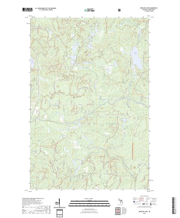
2023 Map of Winslow Lake
USGS Topo · Published 2023About this map
The Ottawa National Forest defines this portion of Iron County, dominated by the intricate hydrology of the Paint Wild and Scenic River. This protected corridor follows the winding course of the North Branch Paint River, which draws from a network of tributaries including Holmes Creek, Ketchum Creek, and Tote Creek. The landscape is characterized by a dense concentration of glacial lakes and springs, notably Winslow Lake, Little Tamarack Lake, and the distinctive Big Spring Hole.
Find a feature on this map
77 named features on this map. Tap any name to fly to it.
Don’t see what you’re looking for? This feature index may not catch every label — zoom into the map to look around manually.
Map Details
Editions of this 2023 Winslow Lake Map
This is the sole edition of this map. No revisions or reprints were ever made.
Other maps of this area

1895 · Perch Lake
USGS Topo · 1:62,500

1898 · Iron River
USGS Topo · 1:62,500

1945 · Gibbs City
USGS Topo · 1:24,000

1946 · Gibbs City
USGS Topo · 1:31,680

1954 · Kenton
USGS Topo · 1:62,500

1954 · Perch Lake
USGS Topo · 1:62,500

1956 · Beechwood
USGS Topo · 1:62,500

1958 · Iron River
USGS Topo · 1:250,000

1960 · Iron River
USGS Topo · 1:250,000

1961 · Iron River
USGS Topo · 1:250,000