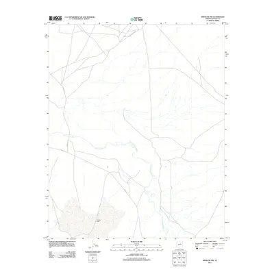
2011 Map of Winslow NW
USGS Topo · Published 2011About this map
The Little Colorado River defines the lower-central portion of this Navajo County landscape, winding its way through the arid terrain as a primary water source and geographical marker. This 2011 survey illustrates a sparse desert environment where transportation routes are the principal evidence of human activity. To the southwest, the sandy expanse of Tucker Flat occupies a significant portion of the sheet, indicating the localized drainage patterns and open topography characteristic of the region.
Find a feature on this map
6 named features on this map. Tap any name to fly to it.
Don’t see what you’re looking for? This feature index may not catch every label — zoom into the map to look around manually.
Map Details
Editions of this 2011 Winslow NW Map
This is the sole edition of this map. No revisions or reprints were ever made.
Other maps of this area

1883 · Tusayan
USGS Topo · 1:250,000

1886 · Tusayan
USGS Topo · 1:250,000

1947 · Flagstaff
USGS Topo · 1:250,000

1954 · Winslow
USGS Topo · 1:62,500

1954 · Winslow 4 NW
USGS Topo · 1:24,000

1954 · Winslow 4 SW
USGS Topo · 1:24,000

1954 · Winslow 4 SE
USGS Topo · 1:24,000

1954 · Winslow 4 NE
USGS Topo · 1:24,000

1954 · Flagstaff
USGS Topo · 1:250,000

1955 · Leupp
USGS Topo · 1:62,500