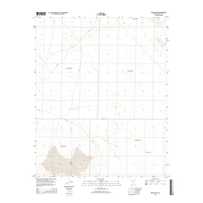
2014 Map of Winslow NW
USGS Topo · Published 2014About this map
The Little Colorado River winds through this high desert terrain in Navajo County, carving a distinct path through the open landscape. This 2014 survey illustrates the complex drainage systems of the region, where the river interacts with significant features like the broad expanse of Tucker Flat and the depressions of Rincon Basin. To the north, Coyote Wash cuts across the plains, highlighting the importance of seasonal watercourses in this environment. The map details a network of Bureau of Indian Affairs routes, including Bia-71 and Bia-6830m, which provide the primary access through these townships. Local infrastructure is further represented by N Park Dr, showing how modern thoroughfares integrate with traditional land divisions. This document captures the intersection of natural hydrology and managed road networks on the outskirts of the Winslow area.
Find a feature on this map
12 named features on this map. Tap any name to fly to it.
Don’t see what you’re looking for? This feature index may not catch every label — zoom into the map to look around manually.
Map Details
Editions of this 2014 Winslow NW Map
This is the sole edition of this map. No revisions or reprints were ever made.
Other maps of this area

1883 · Tusayan
USGS Topo · 1:250,000

1886 · Tusayan
USGS Topo · 1:250,000

1947 · Flagstaff
USGS Topo · 1:250,000

1954 · Winslow
USGS Topo · 1:62,500

1954 · Winslow 4 NW
USGS Topo · 1:24,000

1954 · Winslow 4 SW
USGS Topo · 1:24,000

1954 · Winslow 4 SE
USGS Topo · 1:24,000

1954 · Winslow 4 NE
USGS Topo · 1:24,000

1954 · Flagstaff
USGS Topo · 1:250,000

1955 · Leupp
USGS Topo · 1:62,500