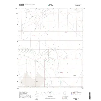
2018 Map of Winslow NW
USGS Topo · Published 2018About this map
The Little Colorado River defines the central geography of this Navajo County landscape, winding through a corridor of wetlands and braided channels. To the south, the terrain levels out into the broad expanse of Tucker Flat and the depressions of Rincon Basin, reflecting the characteristic high-desert topography of the region. The map documents a network of tribal and county transportation routes, including Indian Rte 71, Indian Rte 6830M, and Co Rd 7, which cross the arid reaches near Coyote Wash. This 2018 survey captures the intersection of natural riparian systems with modern infrastructure, illustrating how water access and road development continue to shape the land use patterns within these traditional township and range boundaries.
Find a feature on this map
13 named features on this map. Tap any name to fly to it.
Don’t see what you’re looking for? This feature index may not catch every label — zoom into the map to look around manually.
Map Details
Editions of this 2018 Winslow NW Map
This is the sole edition of this map. No revisions or reprints were ever made.
Other maps of this area

1883 · Tusayan
USGS Topo · 1:250,000

1886 · Tusayan
USGS Topo · 1:250,000

1947 · Flagstaff
USGS Topo · 1:250,000

1954 · Winslow
USGS Topo · 1:62,500

1954 · Winslow 4 NW
USGS Topo · 1:24,000

1954 · Winslow 4 SW
USGS Topo · 1:24,000

1954 · Winslow 4 SE
USGS Topo · 1:24,000

1954 · Winslow 4 NE
USGS Topo · 1:24,000

1954 · Flagstaff
USGS Topo · 1:250,000

1955 · Leupp
USGS Topo · 1:62,500