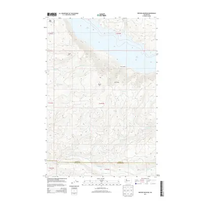
2013 Map of Winters Mountain
USGS Topo · Published 2013About this map
Riffe Lake dominates the northern landscape of this region, its waters filling the valley floor between the steep slopes of Green Mtn and Steel Canyon. This 2013 survey highlights the dramatic vertical relief of the southern Cascades foothills, where Winters Mtn rises as a central peak above a network of drainages including Winston Cr and Thurston Cr. The small community of Alta Vista sits at the northwestern edge, served by local routes like Hagen Rd. Further south, the terrain descends toward the Green River, which forms a natural boundary near the border between Lewis and Cowlitz counties. Genealogists and local historians can trace the remote drainage of Elk Cr and locate Soda Spring in the southeastern corner, reflecting the area's geography of isolated springs and creek-fed canyons.
Find a feature on this map
24 named features on this map. Tap any name to fly to it.
Don’t see what you’re looking for? This feature index may not catch every label — zoom into the map to look around manually.
Map Details
Editions of this 2013 Winters Mountain Map
This is the sole edition of this map. No revisions or reprints were ever made.
Other maps of this area

1919 · Mount St Helens
USGS Topo · 1:125,000

1937 · Eatonville
USGS Topo · 1:125,000

1953 · Hoquiam
USGS Topo · 1:250,000

1953 · Elk Rock
USGS Topo · 1:62,500

1956 · Mineral
USGS Topo · 1:62,500

1957 · Hoquiam
USGS Topo · 1:250,000

1957 · Morton
USGS Topo · 1:62,500

1957 · Spirit Lake
USGS Topo · 1:62,500

1958 · Hoquiam
USGS Topo · 1:250,000

1962 · Hoquiam
USGS Topo · 1:250,000