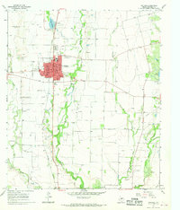
1967 Map of Winters
USGS Topo · Published 1970About this map
The West Texas town of Winters serves as the central hub of this mid-century topographic survey, showing a landscape defined by ranching, water management, and the Abilene and Southern railroad line. The settlement is organized around a grid of streets like Broadway St and Main St, with essential community landmarks including the local hospital, a post office, and several cemeteries such as Northview Cem and Fairview Cem.
Find a feature on this map
39 named features on this map. Tap any name to fly to it.
Don’t see what you’re looking for? This feature index may not catch every label — zoom into the map to look around manually.
Map Details
Editions of this 1967 Winters Map
2 editions found
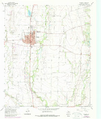
Other maps of this area

1890 · Abilene
USGS Topo · 1:125,000

1891 · Hayrick
USGS Topo · 1:125,000

1892 · Abilene
USGS Topo · 1:125,000

1892 · Ballinger
USGS Topo · 1:125,000

1893 · Sweetwater
USGS Topo · 1:125,000

1894 · Hayrick
USGS Topo · 1:125,000

1921 · Hatchel
USGS Topo · 1:31,680

1921 · Quarry Creek
USGS Topo · 1:31,680

1954 · Brownwood
USGS Topo · 1:250,000

1954 · Big Spring
USGS Topo · 1:250,000