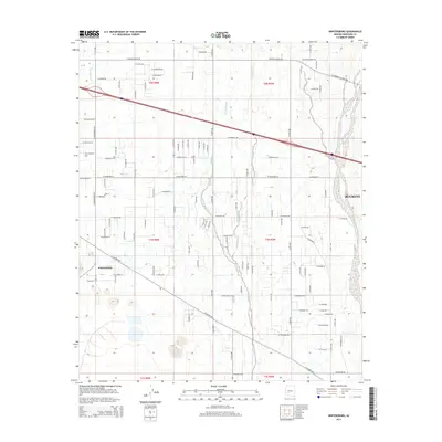
2014 Map of Wintersburg
USGS Topo · Published 2014About this map
Wintersburg stands as a focal point in this western Arizona landscape, where the desert floor is etched by an intricate network of drainage channels. The area is defined by seasonal watercourses like Fourmile Wash, Phillips Wash, and Dickey Wash, which dictate the local topography as they flow toward the Hassayampa River basin. This survey illustrates the transition of the region’s agricultural and residential footprint, anchored by the expansion of Buckeye to the east.
Find a feature on this map
44 named features on this map. Tap any name to fly to it.
Don’t see what you’re looking for? This feature index may not catch every label — zoom into the map to look around manually.
Map Details
Editions of this 2014 Wintersburg Map
This is the sole edition of this map. No revisions or reprints were ever made.
Other maps of this area

1954 · Phoenix
USGS Topo · 1:250,000

1957 · Phoenix
USGS Topo · 1:250,000

1957 · White Tank Mts.
USGS Topo · 1:62,500

1958 · Phoenix
USGS Topo · 1:250,000

1958 · Buckeye NW
USGS Topo · 1:24,000

1958 · Hassayampa
USGS Topo · 1:24,000

1958 · Buckeye
USGS Topo · 1:62,500

1960 · Phoenix
USGS Topo · 1:250,000

1962 · Belmont Mts
USGS Topo · 1:62,500

1962 · Arlington
USGS Topo · 1:62,500