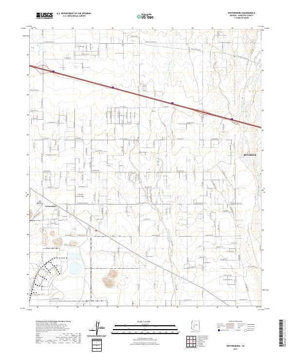
2021 Map of Wintersburg
USGS Topo · Published 2021About this map
Wintersburg and the western edge of Buckeye define this agricultural and desert landscape west of the Phoenix metropolitan area. The grid-based settlement pattern is dictated by the Public Land Survey System, with townships like t1n r6w and t2n r5w providing the framework for a dense network of section roads. The arid geography is characterized by several north-south drainage systems, including Fourmile Wash, Dickey Wash, and Phillips Wash, all of which eventually feed toward the broad Hassayampa River corridor on the eastern edge of the quadrangle.
Find a feature on this map
50 named features on this map. Tap any name to fly to it.
Don’t see what you’re looking for? This feature index may not catch every label — zoom into the map to look around manually.
Map Details
Editions of this 2021 Wintersburg Map
This is the sole edition of this map. No revisions or reprints were ever made.
Other maps of this area

1954 · Phoenix
USGS Topo · 1:250,000

1957 · Phoenix
USGS Topo · 1:250,000

1957 · White Tank Mts.
USGS Topo · 1:62,500

1958 · Phoenix
USGS Topo · 1:250,000

1958 · Buckeye NW
USGS Topo · 1:24,000

1958 · Hassayampa
USGS Topo · 1:24,000

1958 · Buckeye
USGS Topo · 1:62,500

1960 · Phoenix
USGS Topo · 1:250,000

1962 · Belmont Mts
USGS Topo · 1:62,500

1962 · Arlington
USGS Topo · 1:62,500