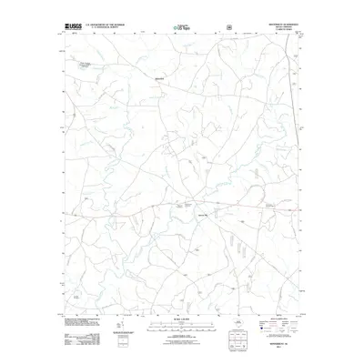
2011 Map of Winterseat
USGS Topo · Published 2011About this map
Hard Labor Creek and its many tributaries, including Goatneck Branch and Bracknell Branch, define the topography of this McCormick County landscape. The area is characterized by a network of rural routes such as Scotts Ferry Rd and Long Cane Rd that connect small settlements and family landmarks. The settlement of Winterseat sits in the northern reaches, while Liberty Hill serves as a central point of interest near the Liberty Hill Lookout Tower.
Find a feature on this map
55 named features on this map. Tap any name to fly to it.
Don’t see what you’re looking for? This feature index may not catch every label — zoom into the map to look around manually.
Map Details
Editions of this 2011 Winterseat Map
This is the sole edition of this map. No revisions or reprints were ever made.
Other maps of this area

1892 · Mc Cormick
USGS Topo · 1:125,000

1892 · Abbeville
USGS Topo · 1:125,000

1908 · Kirksey
USGS Topo · 1:24,000

1912 · Mc Cormick
USGS Topo · 1:125,000

1948 · Verdery
USGS Topo · 1:24,000

1950 · Bradley
USGS Topo · 1:24,000

1950 · Kirksey
USGS Topo · 1:24,000

1950 · Verdery
USGS Topo · 1:24,000

1953 · Athens
USGS Topo · 1:250,000

1954 · Greenville
USGS Topo · 1:250,000