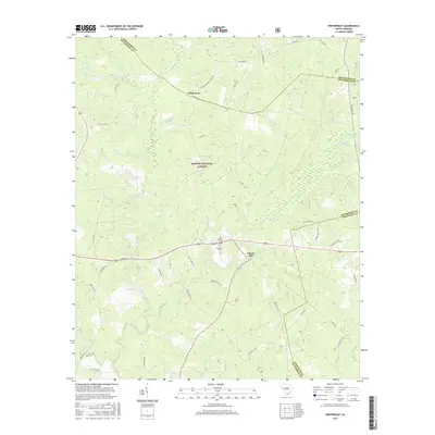
2017 Map of Winterseat
USGS Topo · Published 2017About this map
Sumter National Forest blankets much of the topography in this portion of South Carolina, where the borders of Greenwood, McCormick, and Edgefield counties converge. The settlement of Liberty Hill stands as a focal point near the center of the map, situated just south of the Old Bethany Cem and the adjacent Bethany Cem. The landscape is defined by a dense network of watercourses, including Hard Labor Creek, Cuffytown Creek, and Stevens Creek, which dictate the winding paths of rural routes like Scotts Ferry Rd and Five Notch Rd. This 2017 survey reveals the persistent rural character of the region, where family names and community landmarks like Canfield Cem and the small settlement of Winterseat remain visible markers of local heritage. The preservation of these names alongside modern GPS-derived data provides a clear view of how traditional land use and forest management continue to shape this Southern woodland corridor.
Find a feature on this map
63 named features on this map. Tap any name to fly to it.
Don’t see what you’re looking for? This feature index may not catch every label — zoom into the map to look around manually.
Map Details
Editions of this 2017 Winterseat Map
This is the sole edition of this map. No revisions or reprints were ever made.
Other maps of this area

1892 · Mc Cormick
USGS Topo · 1:125,000

1892 · Abbeville
USGS Topo · 1:125,000

1908 · Kirksey
USGS Topo · 1:24,000

1912 · Mc Cormick
USGS Topo · 1:125,000

1948 · Verdery
USGS Topo · 1:24,000

1950 · Bradley
USGS Topo · 1:24,000

1950 · Kirksey
USGS Topo · 1:24,000

1950 · Verdery
USGS Topo · 1:24,000

1953 · Athens
USGS Topo · 1:250,000

1954 · Greenville
USGS Topo · 1:250,000