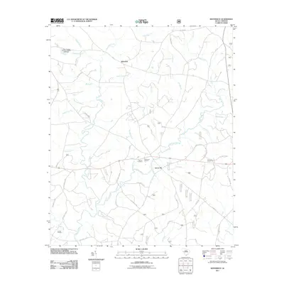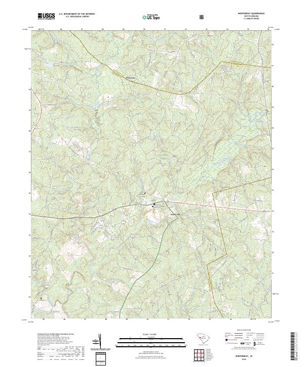
2024 Map of Winterseat
USGS Topo · Published 2024About this map
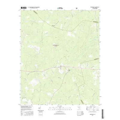
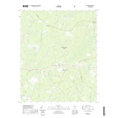
Winterseat and Liberty Hill sit at the intersection of rural life and public land management in the South Carolina Piedmont. This landscape is defined by the extensive reaches of the Sumter National Forest, which blankets much of the central and eastern portions of the area. A high concentration of family and community burial sites, such as Zion Chapel Graveyard, Old Bethany Cem, and the First Bethany Baptist Church Cem, provides significant points of interest for genealogists tracing local lineage. The topography is intricately carved by numerous waterways, most notably Hard Labor Creek and Cuffytown Creek, which feed into Stevens Creek. The road network, including the historic Five Notch Rd and Millway Rd, reflects long-standing travel corridors that connect these upland settlements across the Greenwood, McCormick, and Edgefield county lines.
Find a feature on this map
63 named features on this map. Tap any name to fly to it.
Don’t see what you’re looking for? This feature index may not catch every label — zoom into the map to look around manually.
Map Details
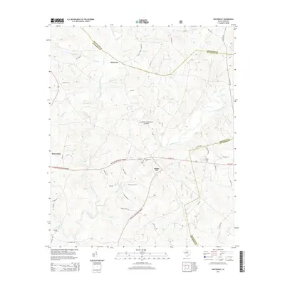
Editions of this 2024 Winterseat Map
This is the sole edition of this map. No revisions or reprints were ever made.
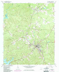
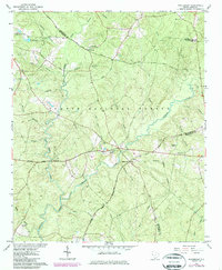
Historical Maps of McCormick Through Time
7 maps found