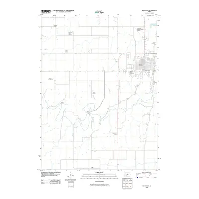
2010 Map of Winterset
USGS Topo · Published 2010About this map
The city of Winterset serves as the focal point of this Madison County landscape, organized around its grid-iron streets and the Winterset Post Office. To the east, the Winterset City Park Campground and the Clark Memorial Tower overlook the winding river valley. The surrounding countryside is dotted with legacy rural infrastructure, including several school sites such as Stringtown School, Prairie Flower School, and Washington School, which reflect the area's agricultural history.
Find a feature on this map
21 named features on this map. Tap any name to fly to it.
Don’t see what you’re looking for? This feature index may not catch every label — zoom into the map to look around manually.
Map Details
Editions of this 2010 Winterset Map
This is the sole edition of this map. No revisions or reprints were ever made.
Other maps of this area

1951 · Osceola
USGS Topo · 1:62,500

1951 · St. Charles
USGS Topo · 1:62,500

1951 · Afton
USGS Topo · 1:62,500

1952 · Winterset
USGS Topo · 1:62,500

1954 · Omaha
USGS Topo · 1:250,000

1954 · Des Moines
USGS Topo · 1:250,000

1956 · Des Moines
USGS Topo · 1:250,000

1957 · Des Moines
USGS Topo · 1:250,000

1957 · Omaha
USGS Topo · 1:250,000

1958 · Omaha
USGS Topo · 1:250,000