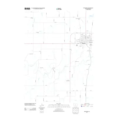
2013 Map of Winterset
USGS Topo · Published 2013About this map
The Middle River winds through the heart of Madison County, framing the layout of Winterset and the surrounding agricultural landscape. This 2013 survey provides a detailed look at the town's street grid and its connection to rural outliers like Ord and Price. Notable for its local landmarks, the area includes the Cutler--Donahue Covered Bridge and the Clark Memorial Tower, both serving as focal points for local heritage. The map also records several educational sites, including Stringtown School, Prairie Flower School, Middle River School, and Washington School, which speak to the distributed community structure of the region.
Find a feature on this map
81 named features on this map. Tap any name to fly to it.
Don’t see what you’re looking for? This feature index may not catch every label — zoom into the map to look around manually.
Map Details
Editions of this 2013 Winterset Map
This is the sole edition of this map. No revisions or reprints were ever made.
Other maps of this area

1951 · Osceola
USGS Topo · 1:62,500

1951 · St. Charles
USGS Topo · 1:62,500

1951 · Afton
USGS Topo · 1:62,500

1952 · Winterset
USGS Topo · 1:62,500

1954 · Omaha
USGS Topo · 1:250,000

1954 · Des Moines
USGS Topo · 1:250,000

1956 · Des Moines
USGS Topo · 1:250,000

1957 · Des Moines
USGS Topo · 1:250,000

1957 · Omaha
USGS Topo · 1:250,000

1958 · Omaha
USGS Topo · 1:250,000