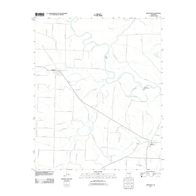
2024 Map of Winthrop
USGS Topo · Published 2024About this map
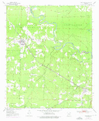
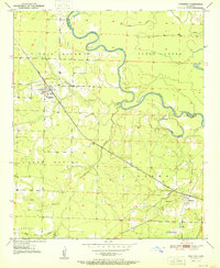
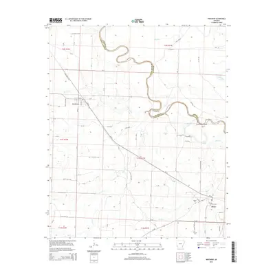
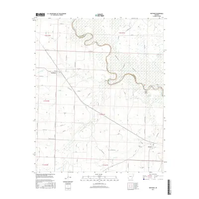
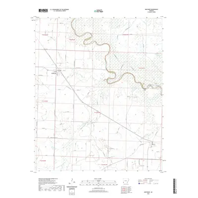
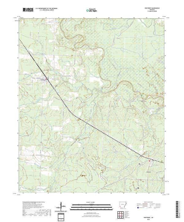
The Little River meanders along the Little River Co Sevier Co border, carving a complex path through the bottomlands of the Pond Creek National Wildlife Refuge. This landscape is defined by its water, where Pond Creek and Hurricane Creek feed into a network of wetlands including Red Lake and Boggy Slough. The terrain transitions from these dense riverine environments to the upland settlements of Winthrop and Alleene, which serve as the primary hubs for the local road network.
Find a feature on this map
87 named features on this map. Tap any name to fly to it.
Don’t see what you’re looking for? This feature index may not catch every label — zoom into the map to look around manually.
Map Details
Editions of this 2024 Winthrop Map
This is the sole edition of this map. No revisions or reprints were ever made.
Historical Maps of Winthrop Through Time
7 maps found