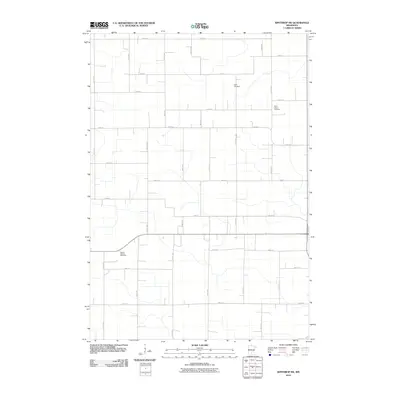
2010 Map of Winthrop SW
USGS Topo · Published 2010About this map
The agricultural landscape of Sibley County defines this area southwest of Winthrop, where a strictly organized grid of section roads like 581st Ave and 266th St segments the rural terrain. This 2010 survey reflects the enduring presence of local heritage sites, notably Tabor Cemetery and Saint John's Cemetery, which serve as quiet landmarks among the expansive farm fields. The primary thoroughfare, County Hwy-3, cuts vertically through the quadrangle, facilitating transport in this corner of Minnesota. Along the southern corridor, the East of Gibbon Rest Area provides a modern navigational anchor for travelers. The map illustrates the precision of Midwestern land divisions and the modest, dispersed placement of community markers that characterize the region's rural character at the start of the twenty-first century.
Find a feature on this map
32 named features on this map. Tap any name to fly to it.
Don’t see what you’re looking for? This feature index may not catch every label — zoom into the map to look around manually.
Map Details
Editions of this 2010 Winthrop SW Map
This is the sole edition of this map. No revisions or reprints were ever made.
Other maps of this area

1953 · New Ulm
USGS Topo · 1:250,000

1957 · New Ulm
USGS Topo · 1:250,000

1958 · New Ulm
USGS Topo · 1:250,000

1958 · Winthrop
USGS Topo · 1:62,500

1964 · Bernadotte
USGS Topo · 1:24,000

1964 · Buffalo Lake
USGS Topo · 1:24,000

1964 · Lafayette
USGS Topo · 1:24,000

1964 · St George
USGS Topo · 1:24,000

1964 · Gibbon
USGS Topo · 1:24,000

1967 · New Ulm
USGS Topo · 1:250,000