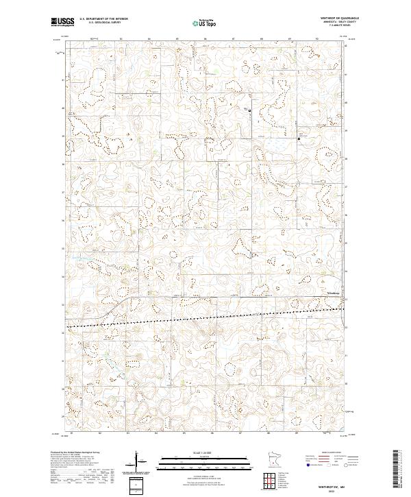
2022 Map of Winthrop SW
USGS Topo · Published 2022About this map
The city of Winthrop sits on the eastern edge of this Sibley County landscape, where the flat agricultural plains of southern Minnesota are carved by the Middle Br Rush River. This survey captures the rural character of the region, defined by a dense grid of township and county roads that navigate the numerous small wetlands and drainage basins common to the area. Significant water management is evident through the presence of the County Ditch Number Thirteen, which channels water through the southern sections of the quadrangle to support local farming.
Find a feature on this map
41 named features on this map. Tap any name to fly to it.
Don’t see what you’re looking for? This feature index may not catch every label — zoom into the map to look around manually.
Map Details
Editions of this 2022 Winthrop SW Map
This is the sole edition of this map. No revisions or reprints were ever made.
Other maps of this area

1953 · New Ulm
USGS Topo · 1:250,000

1957 · New Ulm
USGS Topo · 1:250,000

1958 · New Ulm
USGS Topo · 1:250,000

1958 · Winthrop
USGS Topo · 1:62,500

1964 · Bernadotte
USGS Topo · 1:24,000

1964 · Buffalo Lake
USGS Topo · 1:24,000

1964 · Lafayette
USGS Topo · 1:24,000

1964 · St George
USGS Topo · 1:24,000

1964 · Gibbon
USGS Topo · 1:24,000

1967 · New Ulm
USGS Topo · 1:250,000