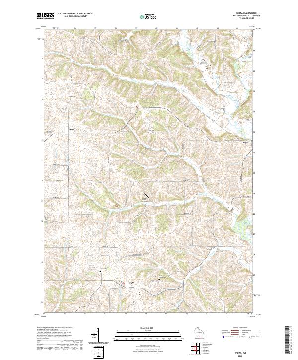
2022 Map of Wiota
USGS Topo · Published 2022About this map
Wiota and the surrounding Lafayette County countryside are defined by a dense network of coulees and ridges where small cemeteries and rural settlements have persisted for generations. In the northern reaches, the community of Lamont sits near the headwaters of Mud Br, while the village of Argyle occupies the eastern edge where the Yellowstone River joins the East Branch Pecatonica River. This landscape is heavily carved by water, with Whiteside Creek, Apple Br, and Cherry Br creating the rolling topography typical of the region. Genealogists will find several family and community burial grounds well-preserved in this modern survey, including the Apple Grove Cem, Andrews Cem, and Trinity Johnson Cem. A notable modern landmark is the Whoopy Hollow Aerodrome, situated along the winding course of Whiteside Cr.
Find a feature on this map
61 named features on this map. Tap any name to fly to it.
Don’t see what you’re looking for? This feature index may not catch every label — zoom into the map to look around manually.
Map Details
Editions of this 2022 Wiota Map
This is the sole edition of this map. No revisions or reprints were ever made.
Other maps of this area

1902 · Mineral Point
USGS Topo · 1:125,000

1923 · Blanchardville
USGS Topo · 1:62,500

1923 · South Wayne
USGS Topo · 1:62,500

1954 · Rockford
USGS Topo · 1:250,000

1955 · Rockford
USGS Topo · 1:250,000

1958 · Rockford
USGS Topo · 1:250,000

1959 · Dubuque
USGS Topo · 1:250,000

1961 · Dubuque
USGS Topo · 1:250,000

1962 · Dubuque
USGS Topo · 1:250,000
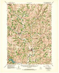
1962 · Blanchardville
USGS Topo · 1:62,500