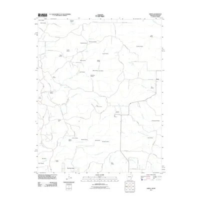
2011 Map of Wirth
USGS Topo · Published 2011About this map
Big Creek and Moccasin Creek wind through a landscape defined by an intricate network of hollows along the Arkansas-Missouri border. The settlement of Wirth sits near the eastern edge, while Woodland Hills occupies the southern reaches near the junction of several county roads. This area is notably dense with family-named geographic features and historical burial sites, including the Babe Collins Cemetery, Ed Collins Cemetery, and Hurst Cemetery, providing significant points of interest for genealogical research. The terrain is marked by numerous springs such as Ruprecht Spring and Davis Spring, which feed the various forks and creeks. The presence of Mine Hollow suggests historical land use tied to the region's natural resources, while prominent elevations like Britton Hill overlook the winding drainage patterns of Gut Creek and Forty Island Creek.
Find a feature on this map
95 named features on this map. Tap any name to fly to it.
Don’t see what you’re looking for? This feature index may not catch every label — zoom into the map to look around manually.
Map Details
Editions of this 2011 Wirth Map
This is the sole edition of this map. No revisions or reprints were ever made.
Other maps of this area

1943 · Thayer
USGS Topo · 1:62,500

1944 · Couch
USGS Topo · 1:62,500

1946 · Thayer
USGS Topo · 1:62,500

1946 · Couch
USGS Topo · 1:62,500

1957 · Poplar Bluff
USGS Topo · 1:250,000

1959 · Poplar Bluff
USGS Topo · 1:250,000

1960 · Poplar Bluff
USGS Topo · 1:250,000

1962 · Stuart
USGS Topo · 1:24,000

1962 · Mammoth Spring
USGS Topo · 1:24,000

1968 · Hardy
USGS Topo · 1:24,000