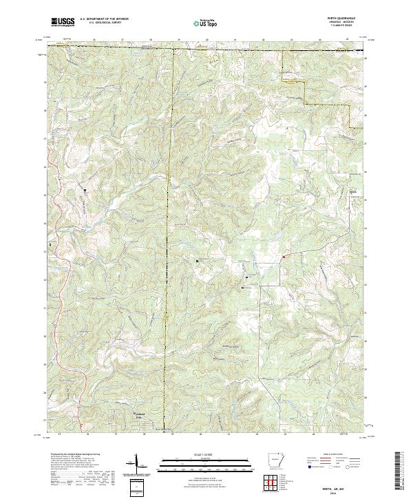
2024 Map of Wirth
USGS Topo · Published 2024About this map
The northern border between Missouri and Arkansas divides this landscape of steep hollows and winding creek beds, where the Ozark foothills meet the state line across Sharp, Fulton, Oregon, and Randolph counties. Wirth and the community of Woodland Hills serve as the primary residential nodes, connected by a network of county roads that follow the ridges and valleys. The area is defined by its numerous springs, including Ruprecht Spring, Ellis Spring, and White Oak Spring, which feed into major drainages like Moccasin Creek and Big Creek.
Find a feature on this map
122 named features on this map. Tap any name to fly to it.
Don’t see what you’re looking for? This feature index may not catch every label — zoom into the map to look around manually.
Map Details
Editions of this 2024 Wirth Map
This is the sole edition of this map. No revisions or reprints were ever made.
Other maps of this area

1943 · Thayer
USGS Topo · 1:62,500

1944 · Couch
USGS Topo · 1:62,500

1946 · Thayer
USGS Topo · 1:62,500

1946 · Couch
USGS Topo · 1:62,500

1957 · Poplar Bluff
USGS Topo · 1:250,000

1959 · Poplar Bluff
USGS Topo · 1:250,000

1960 · Poplar Bluff
USGS Topo · 1:250,000

1962 · Stuart
USGS Topo · 1:24,000

1962 · Mammoth Spring
USGS Topo · 1:24,000

1968 · Hardy
USGS Topo · 1:24,000