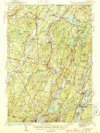
1944 Map of Wiscasset
USGS Topo · Published 1944About this map
The Sheepscot River snakes through the heart of this mid-coast Maine landscape, anchoring a series of small riverside villages and historic crossroads. Surveyed shortly before the mid-century mark, the map reveals a highly decentralized rural pattern defined by its many district schools and country houses of worship. Landmarks like Whitefield and Head Tide are documented alongside the Whitefield Memorial Hospital, while the Damariscotta River estuary frames the southeastern settlements of Newcastle and Damariscotta.
Find a feature on this map
124 named features on this map. Tap any name to fly to it.
Don’t see what you’re looking for? This feature index may not catch every label — zoom into the map to look around manually.
Map Details
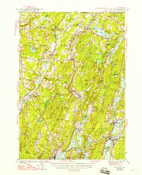
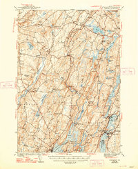
Editions of this 1944 Wiscasset Map
4 editions found

Other maps of this area

1892 · Gardiner
USGS Topo · 1:62,500

1892 · Augusta
USGS Topo · 1:62,500

1893 · Vassalboro
USGS Topo · 1:62,500

1893 · Wiscasset
USGS Topo · 1:62,500

1893 · Boothbay
USGS Topo · 1:62,500

1894 · Bath
USGS Topo · 1:62,500

1898 · Vassalboro
USGS Topo · 1:62,500

1904 · Monhegan
USGS Topo · 1:62,500

1906 · Monhegan
USGS Topo · 1:62,500

1913 · Waldoboro
USGS Topo · 1:48,000