
1985 Map of Wisconsin Dells
USGS Topo · Published 1985About this map
The Wisconsin River carves through the heart of this mid-1980s landscape, winding past iconic formations like the Elephants Back and Blackhawk Island near the bustling hub of Wisconsin Dells. This era shows a region defined by its diverse water systems and expansive conservation areas, from the massive Castle Rock Lake in the northwest to the intricate wetlands of the Grand River State Wildlife Area. The settlement pattern follows the established rail corridors of the Chicago Milwaukee St Paul and Pacific and the Soo Line, connecting towns like Portage, Montello, and Reedsburg.
Find a feature on this map
139 named features on this map. Tap any name to fly to it.
Don’t see what you’re looking for? This feature index may not catch every label — zoom into the map to look around manually.
Map Details
Editions of this 1985 Wisconsin Dells Map
This is the sole edition of this map. No revisions or reprints were ever made.
Other maps of this area

1895 · Baraboo
USGS Topo · 1:62,500

1901 · Denzer
USGS Topo · 1:62,500
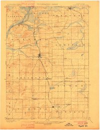
1901 · Poynette
USGS Topo · 1:62,500

1901 · The Dells
USGS Topo · 1:62,500
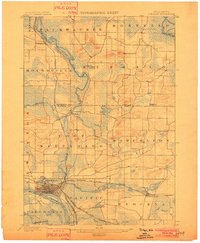
1902 · Portage
USGS Topo · 1:62,500
1902 · Briggsville
USGS Topo · 1:62,500

1905 · Richland Center
USGS Topo · 1:125,000

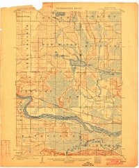
1908 · Baraboo
USGS Topo · 1:62,500

1915 · Neshkoro
USGS Topo · 1:48,000

1916 · Ripon
USGS Topo · 1:48,000