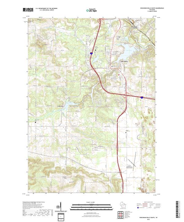
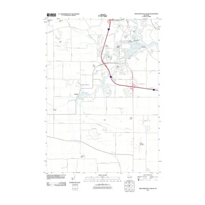
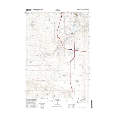
2022 Map of Wisconsin Dells South
USGS Topo · Published 2022About this map
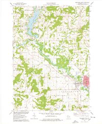
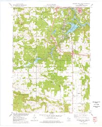
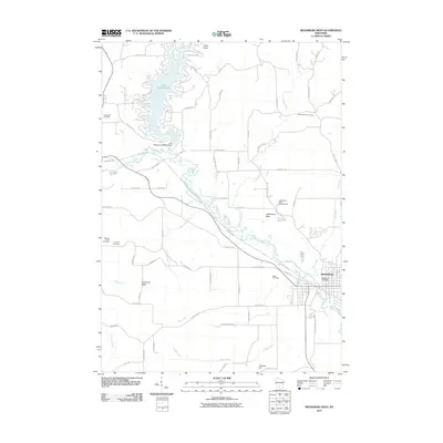
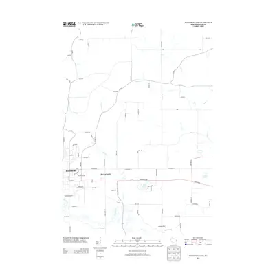
The Wisconsin River corridor south of Wisconsin Dells is defined by its complex glacial topography and water-based geography. This 2022 survey captures the modern landscape of the famous tourism hub, where Lake Delton and Mirror Lake serve as focal points for the surrounding communities. The terrain transitions from the elevations of Hogsback Ridge and the North Range in the south to the intricately carved sandstone features of Lost Canyon near the river. Genealogical interests are well-served by the inclusion of established burial grounds such as Mount Pleasant Cem, Butterfield Cem, and Webster Prairie Cem. The infrastructure of the region is anchored by the Baraboo-Wisconsin Dells Regional Airport and a dense network of local roads like Fern Dell Rd and N Reedsburg Rd, illustrating the balance between natural landmarks like Rattlesnake Knob and modern development.
Find a feature on this map
112 named features on this map. Tap any name to fly to it.
Don’t see what you’re looking for? This feature index may not catch every label — zoom into the map to look around manually.
Map Details
Editions of this 2022 Wisconsin Dells South Map
This is the sole edition of this map. No revisions or reprints were ever made.
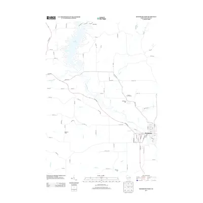
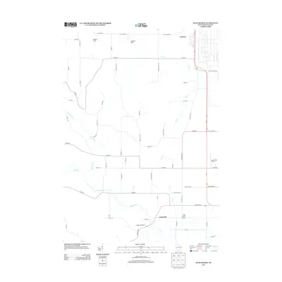
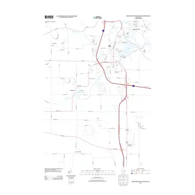
Historical Maps of Lake Delton Through Time
45 maps found
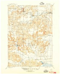
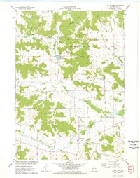
1901 Denzer
Sauk County, WI
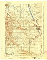
1901 The Dells
Sauk County, WI
1974 Baraboo NW
Sauk County, WI
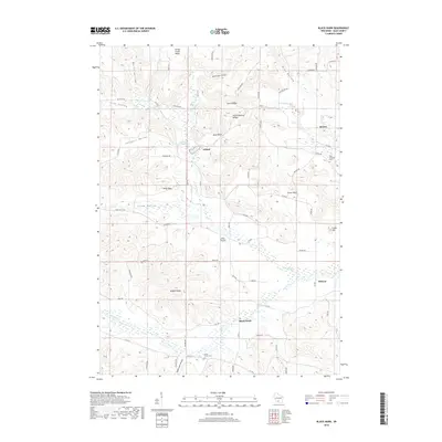
1975 Black Hawk
Sauk County, WI

1975 Lewiston
Sauk County, WI
1975 Reedsburg East
Sauk County, WI
1975 Reedsburg West
Sauk County, WI
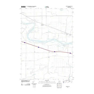
1975 Sauk Prairie
Sauk County, WI
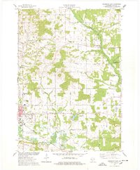
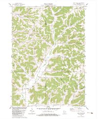
1975 Wisconsin Dells South
Sauk County, WI
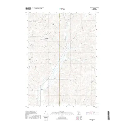
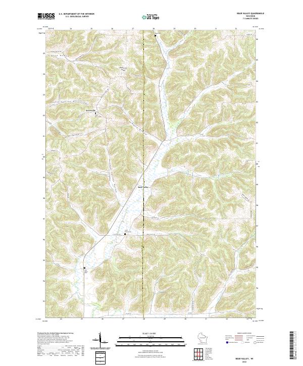
1983 Bear Valley
Sauk County, WI
2010 Bear Valley
Sauk County, WI
2010 Black Hawk
Sauk County, WI
2010 Lewiston
Sauk County, WI
2010 Reedsburg East
Sauk County, WI
2010 Reedsburg West
Sauk County, WI
2010 Sauk Prairie
Sauk County, WI
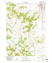
2010 Wisconsin Dells South
Sauk County, WI
2013 Bear Valley
Sauk County, WI
2013 Black Hawk
Sauk County, WI
2013 Lewiston
Sauk County, WI
2013 Reedsburg East
Sauk County, WI
2013 Reedsburg West
Sauk County, WI
2013 Sauk Prairie
Sauk County, WI
2013 Wisconsin Dells South
Sauk County, WI
2016 Bear Valley
Sauk County, WI
2016 Black Hawk
Sauk County, WI
2016 Lewiston
Sauk County, WI
2016 Reedsburg East
Sauk County, WI

2016 Reedsburg West
Sauk County, WI
2016 Sauk Prairie
Sauk County, WI
2016 Wisconsin Dells South
Sauk County, WI
2018 Bear Valley
Sauk County, WI
2018 Black Hawk
Sauk County, WI
2018 Lewiston
Sauk County, WI
2018 Reedsburg East
Sauk County, WI
2018 Reedsburg West
Sauk County, WI
2018 Sauk Prairie
Sauk County, WI

2018 Wisconsin Dells South
Sauk County, WI
2022 Bear Valley
Sauk County, WI
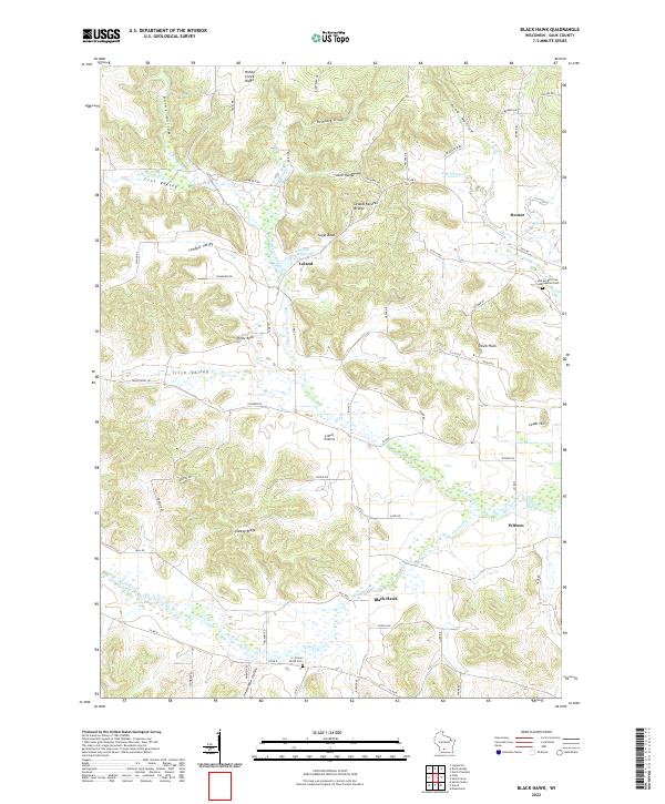
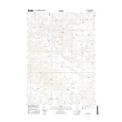
2022 Black Hawk
Sauk County, WI
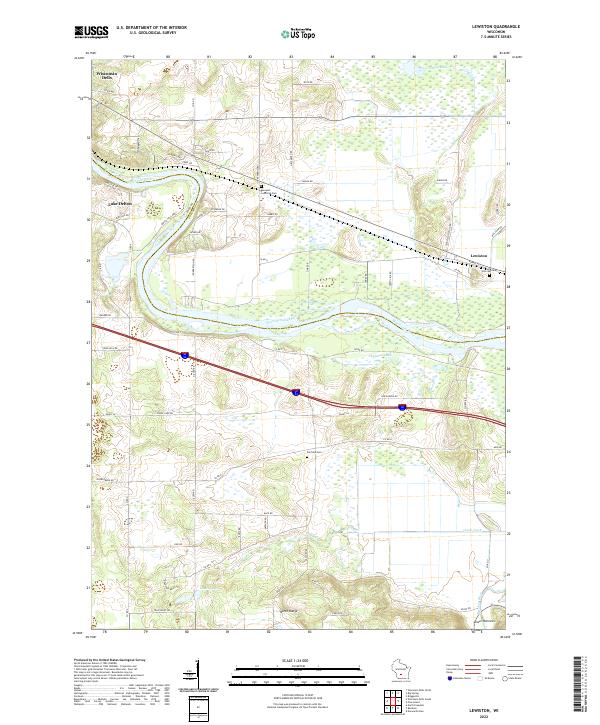
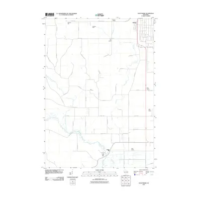
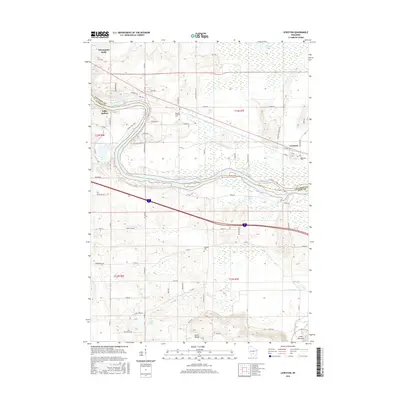
2022 Lewiston
Sauk County, WI
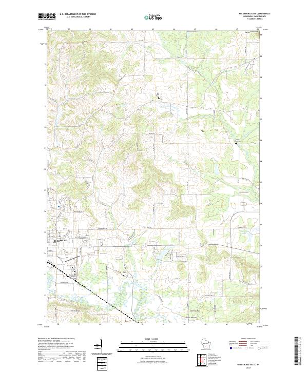
2022 Reedsburg East
Sauk County, WI
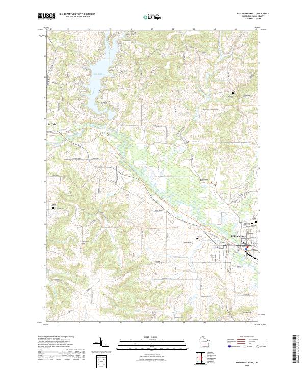
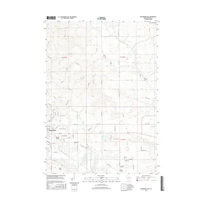
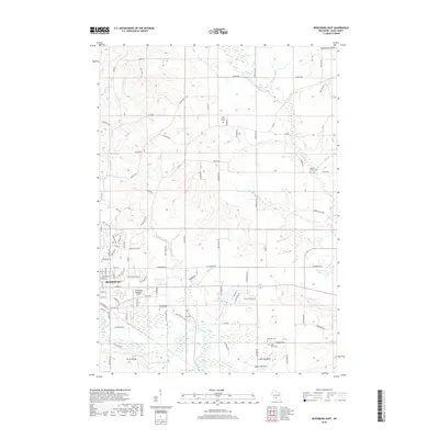
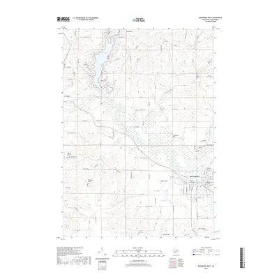
2022 Reedsburg West
Sauk County, WI
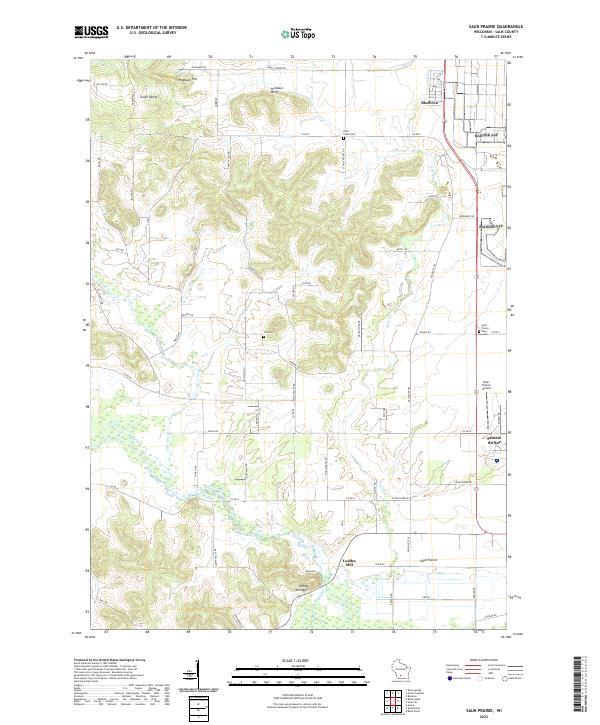
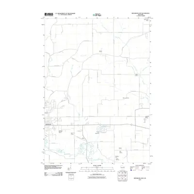
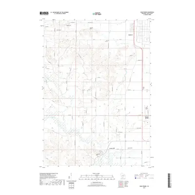
2022 Sauk Prairie
Sauk County, WI
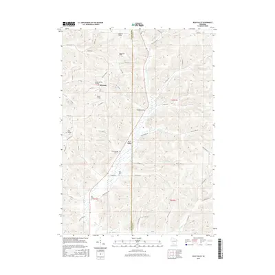
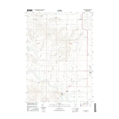
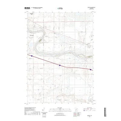
2022 Wisconsin Dells South
Sauk County, WI