
1955 Map of Witch Lake
USGS Topo · Published 1957About this map
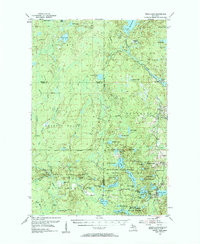
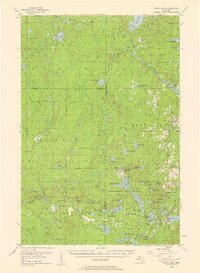
Michigamme State Forest and the Iron Range State Forest dominate this Upper Peninsula landscape, which was meticulously remapped in the mid-1950s using aerial photography. The terrain is defined by a dense network of water bodies, from the sprawling Lake Michigamme in the north to smaller, remote features like Wahlstrom Lake and Fence Lake. This era shows a transition in industrial infrastructure, where active lines of the Chicago and North Western and St Paul and Milwaukee railroads operated alongside an older Railroad Grade.
Find a feature on this map
71 named features on this map. Tap any name to fly to it.
Don’t see what you’re looking for? This feature index may not catch every label — zoom into the map to look around manually.
Map Details
Editions of this 1955 Witch Lake Map
3 editions found
Other maps of this area

1895 · Ned Lake
USGS Topo · 1:62,500

1899 · Sagola
USGS Topo · 1:62,500

1899 · Witbeck
USGS Topo · 1:62,500

1899 · Crystal Falls
USGS Topo · 1:62,500

1945 · Kelso Junction
USGS Topo · 1:24,000

1947 · Kiernan
USGS Topo · 1:24,000

1947 · Kelso Junction
USGS Topo · 1:24,000

1955 · Champion
USGS Topo · 1:24,000

1955 · Witch Lake
USGS Topo · 1:24,000

1955 · Ralph NW
USGS Topo · 1:24,000