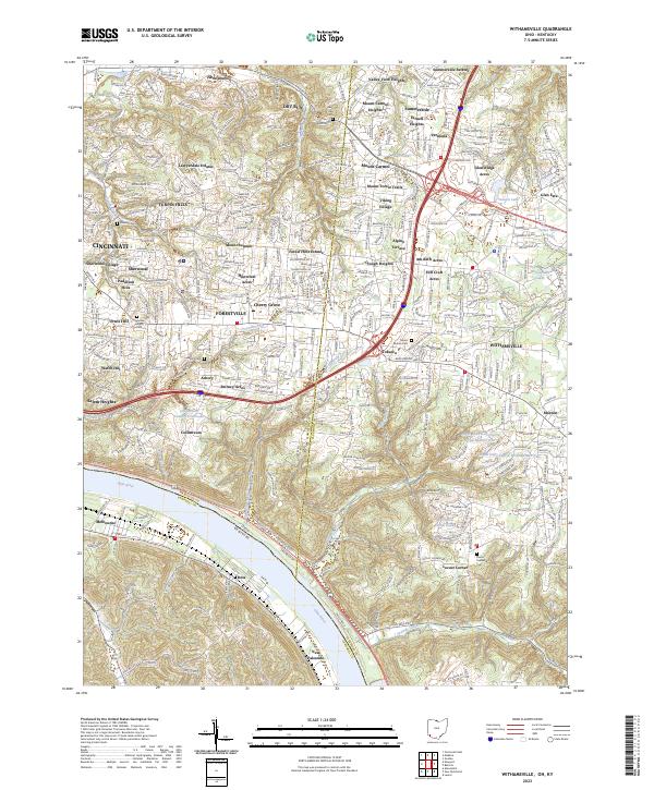
2023 Map of Withamsville
USGS Topo · Published 2023About this map
The Ohio River forms the southwestern boundary of this area, where the suburban landscape of Hamilton and Clermont Counties meets the river's edge. This modern terrain is defined by a dense network of residential developments such as Mount Carmel Heights, Turpin Hills, and Sherwood Village that have largely replaced older agricultural patterns. Major thoroughfares like the Ohio Pike and Beechmont Ave serve as the primary conduits for these interconnected communities, linking Forestville and Withamsville.
Find a feature on this map
70 named features on this map. Tap any name to fly to it.
Don’t see what you’re looking for? This feature index may not catch every label — zoom into the map to look around manually.
Map Details
Editions of this 2023 Withamsville Map
This is the sole edition of this map. No revisions or reprints were ever made.
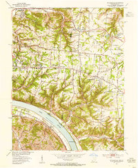
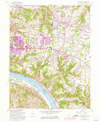
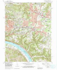
Historical Maps of Camp Springs Through Time
4 maps found