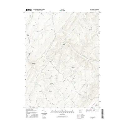
2016 Map of Wittenberg
USGS Topo · Published 2016About this map
The mountain terrain of Somerset County is defined by the winding course of Flaugherty Creek and the steep elevation of Big Savage Mountain. This 2016 survey documents a rural landscape where early industry and settlement patterns remain visible through several historically named mills, including Warrens Mill, Berkleys Mill, and Hays Mill. These locations, often situated at the junction of mountain runs like Blue Lick Creek and Bear Run, point to the area's long reliance on water power and local timber.
Find a feature on this map
82 named features on this map. Tap any name to fly to it.
Don’t see what you’re looking for? This feature index may not catch every label — zoom into the map to look around manually.
Map Details
Editions of this 2016 Wittenberg Map
This is the sole edition of this map. No revisions or reprints were ever made.
Other maps of this area

1898 · Frostburg
USGS Topo · 1:62,500

1899 · Grantsville
USGS Topo · 1:62,500

1901 · Frostburg
USGS Topo · 1:62,500

1904 · Grantsville
USGS Topo · 1:62,500

1908 · Frostburg
USGS Topo · 1:62,500

1921 · Meyersdale
USGS Topo · 1:62,500

1923 · Berlin
USGS Topo · 1:48,000

1929 · Berlin
USGS Topo · 1:62,500

1939 · Meyersdale
USGS Topo · 1:62,500

1944 · Berlin
USGS Topo · 1:62,500
Featured Places
- Callimont, PA
- Greenville Township, PA
- Southampton Township, PA
- Northampton Township, PA
- Warrens Mill, Greenville Township