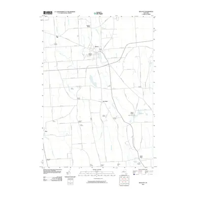
2010 Map of Wolcott
USGS Topo · Published 2010About this map
Wolcott serves as the central hub for this portion of Wayne County, where the village is surrounded by a dense network of local roads and watercourses. To the north, Furnace Village suggests the area's industrial roots, while landmarks like the Rice Mill along Mudge Creek and the Millpond in Butler Center reflect a long-standing reliance on local waterways. The landscape is dotted with small agricultural and residential intersections such as Hickory Square, West Butler, and Maunders Corners, illustrating the dispersed settlement pattern characteristic of rural New York.
Find a feature on this map
92 named features on this map. Tap any name to fly to it.
Don’t see what you’re looking for? This feature index may not catch every label — zoom into the map to look around manually.
Map Details
Editions of this 2010 Wolcott Map
This is the sole edition of this map. No revisions or reprints were ever made.
Other maps of this area

1900 · Oswego
USGS Topo · 1:62,500

1902 · Sodus Bay
USGS Topo · 1:62,500

1902 · Clyde
USGS Topo · 1:62,500

1902 · Weedsport
USGS Topo · 1:62,500

1943 · Lyons
USGS Topo · 1:31,680

1943 · Montezuma
USGS Topo · 1:31,680

1943 · Sodus Point
USGS Topo · 1:31,680

1943 · Savannah
USGS Topo · 1:31,680

1943 · Fair Haven
USGS Topo · 1:31,680

1943 · Wolcott
USGS Topo · 1:31,680