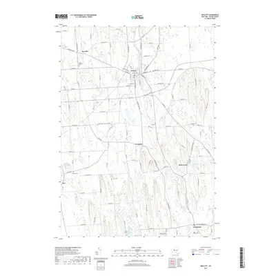
2019 Map of Wolcott
USGS Topo · Published 2019About this map
The village of Wolcott stands as the primary hub in this Wayne County landscape, where glacial drumlins dictate the north-south flow of numerous watercourses. The drainage patterns of Mudge Cr, Beaver Cr, and Wolcott Cr wind through a series of agricultural corridors and wetlands, most notably the expansive Tamarack Swamp in the southeast. This modern survey reveals a dense concentration of small settlements and burial grounds that anchor the local heritage of the region, including Rice Mill, West Butler, and Butler Center.
Find a feature on this map
103 named features on this map. Tap any name to fly to it.
Don’t see what you’re looking for? This feature index may not catch every label — zoom into the map to look around manually.
Map Details
Editions of this 2019 Wolcott Map
This is the sole edition of this map. No revisions or reprints were ever made.
Other maps of this area

1900 · Oswego
USGS Topo · 1:62,500

1902 · Sodus Bay
USGS Topo · 1:62,500

1902 · Clyde
USGS Topo · 1:62,500

1902 · Weedsport
USGS Topo · 1:62,500

1943 · Lyons
USGS Topo · 1:31,680

1943 · Montezuma
USGS Topo · 1:31,680

1943 · Sodus Point
USGS Topo · 1:31,680

1943 · Savannah
USGS Topo · 1:31,680

1943 · Fair Haven
USGS Topo · 1:31,680

1943 · Wolcott
USGS Topo · 1:31,680