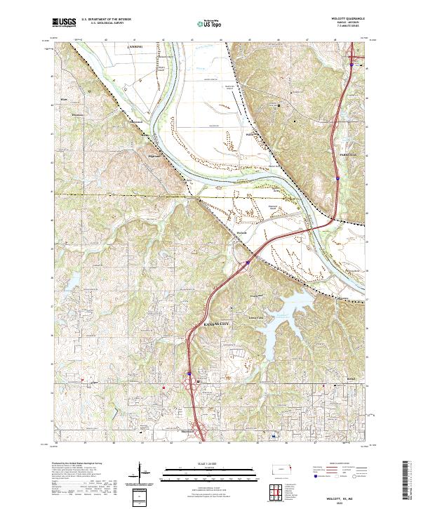
2022 Map of Wolcott
USGS Topo · Published 2022About this map
The Missouri River carves a winding path through this portion of the borderlands, defining the boundary between Kansas and Missouri. The river's influence is evident in the numerous riparian features like Stigers Island, Delaware Bend, and Pomeroy Bend, which shape the local topography. To the west, the Kansas side transitions from the river bottoms to the rolling uplands of Wyandotte County, where the large expanse of Wyandotte County Lake serves as a primary geographical anchor.
Find a feature on this map
96 named features on this map. Tap any name to fly to it.
Don’t see what you’re looking for? This feature index may not catch every label — zoom into the map to look around manually.
Map Details
Editions of this 2022 Wolcott Map
This is the sole edition of this map. No revisions or reprints were ever made.
Other maps of this area

1890 · Kansas City
USGS Topo · 1:125,000

1894 · Kansas City
USGS Topo · 1:125,000

1910 · Leavenworth
USGS Topo · 1:62,500

1914 · Smithville
USGS Topo · 1:62,500

1934 · Bonner Springs
USGS Topo · 1:48,000

1934 · Shawnee
USGS Topo · 1:24,000

1934 · Edwardsville
USGS Topo · 1:24,000

1934 · Wolcott
USGS Topo · 1:24,000

1940 · Bonner Springs
USGS Topo · 1:62,500
1943 · Shawnee
USGS Topo · 1:31,680