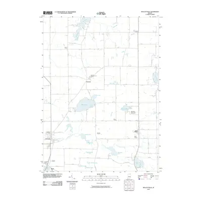
2010 Map of Wolcottville
USGS Topo · Published 2010About this map
Adams Lake and Sylvan Lake anchor this glaciated landscape in northeastern Indiana, where a dense network of smaller basins like Eve Lake and Blackman Lake define the local geography. The area is dotted with small centers of population such as Woodruff and South Milford, connected by a grid of rural roads and the waters of Little Elkhart Creek. Cultural landmarks are prominent, including the Fort Wayne YMCA-Camp Potawotami on the shores of Blackman Lake and the historic sanatorium site at Kneipp Springs. Genealogists will find a wealth of burial grounds to explore, from the Saint Gaspars Catholic Cemetery near Rome City to more remote locations like Tamarack Cemetery and Brushy Chapel Cemetery. The map captures a mix of residential lakeside clusters and expansive agricultural tracts typical of the region's 21st-century character.
Find a feature on this map
74 named features on this map. Tap any name to fly to it.
Don’t see what you’re looking for? This feature index may not catch every label — zoom into the map to look around manually.
Map Details
Editions of this 2010 Wolcottville Map
This is the sole edition of this map. No revisions or reprints were ever made.
Other maps of this area

1940 · Orland
USGS Topo · 1:24,000

1941 · Orland
USGS Topo · 1:24,000

1942 · Stroh
USGS Topo · 1:24,000

1947 · Mongo
USGS Topo · 1:24,000

1947 · Lagrange
USGS Topo · 1:24,000

1947 · Wolcottville
USGS Topo · 1:24,000

1947 · Oliver Lake
USGS Topo · 1:24,000

1953 · Fort Wayne
USGS Topo · 1:250,000

1955 · Corunna
USGS Topo · 1:24,000

1955 · Kendallville
USGS Topo · 1:24,000