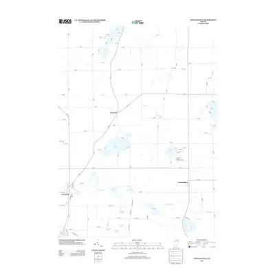
2013 Map of Wolcottville
USGS Topo · Published 2013About this map
Glacial lakes and small settlements define this portion of the Indiana landscape between Wolcottville and South Milford. The terrain is marked by a complex network of wetlands and water bodies, including the centrally located Adams Lake and Tamarack Lake, which drain through the Little Elkhart Cr. The tiny community of Woodruff sits as a crossroads north of the lakes, while Fort Wayne YMCA-Camp Potawotami occupies a significant stretch of shoreline on Blackman Lake, indicating the area's long-standing role as a recreational destination.
Find a feature on this map
90 named features on this map. Tap any name to fly to it.
Don’t see what you’re looking for? This feature index may not catch every label — zoom into the map to look around manually.
Map Details
Editions of this 2013 Wolcottville Map
This is the sole edition of this map. No revisions or reprints were ever made.
Other maps of this area

1940 · Orland
USGS Topo · 1:24,000

1941 · Orland
USGS Topo · 1:24,000

1942 · Stroh
USGS Topo · 1:24,000

1947 · Mongo
USGS Topo · 1:24,000

1947 · Lagrange
USGS Topo · 1:24,000

1947 · Wolcottville
USGS Topo · 1:24,000

1947 · Oliver Lake
USGS Topo · 1:24,000

1953 · Fort Wayne
USGS Topo · 1:250,000

1955 · Corunna
USGS Topo · 1:24,000

1955 · Kendallville
USGS Topo · 1:24,000