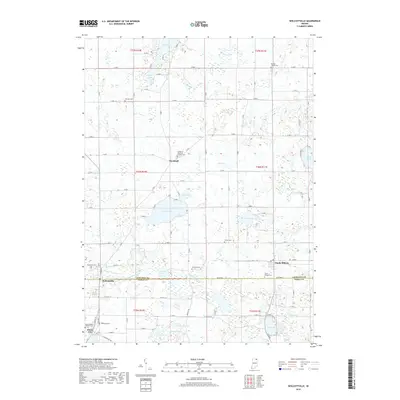
2019 Map of Wolcottville
USGS Topo · Published 2019About this map
The boundary between LaGrange and Noble counties bisects this portion of Northeastern Indiana, where a dense network of glacial lakes and small settlements defines the landscape. Wolcottville sits at the intersection of State St and Lima Rd, serving as a central point near Woodland Cemetery and the waters of Little Elkhart Creek. To the east, South Milford occupies the county line, while the southern edge of the sheet captures the northern reaches of Rome City and the specialized grounds of Kneipp Springs. The map is particularly notable for its concentration of rural burial sites, including the Saint Gaspar's Catholic Cemetery and the Woodruff Memorial Gardens Cemetery, reflecting the area's deep-rooted community history. Water bodies like Adams Lake, Eve Lake, and Cree Lake are interconnected by smaller watercourses and ditches such as Uhl Ditch, illustrating a sophisticated local drainage and aquatic system.
Find a feature on this map
63 named features on this map. Tap any name to fly to it.
Don’t see what you’re looking for? This feature index may not catch every label — zoom into the map to look around manually.
Map Details
Editions of this 2019 Wolcottville Map
This is the sole edition of this map. No revisions or reprints were ever made.
Other maps of this area

1940 · Orland
USGS Topo · 1:24,000

1941 · Orland
USGS Topo · 1:24,000

1942 · Stroh
USGS Topo · 1:24,000

1947 · Mongo
USGS Topo · 1:24,000

1947 · Lagrange
USGS Topo · 1:24,000

1947 · Wolcottville
USGS Topo · 1:24,000

1947 · Oliver Lake
USGS Topo · 1:24,000

1953 · Fort Wayne
USGS Topo · 1:250,000

1955 · Corunna
USGS Topo · 1:24,000

1955 · Kendallville
USGS Topo · 1:24,000