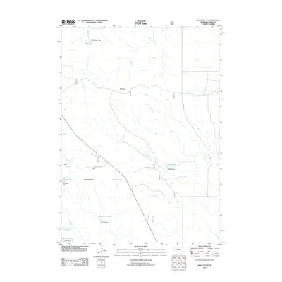
2011 Map of Wolf Butte
USGS Topo · Published 2011About this map
Wolf Butte stands as a prominent topographical landmark in this high plains landscape of northern Nebraska, where a sophisticated network of ranch-era water management defines the modern terrain. The area is characterized by an extensive system of man-made catchments and dams, including the Snook Reservoir fed by Horshead Creek and the southern Moody Reservoir near Moody Dam. These water resources, essential for livestock in this arid environment, are connected by local thoroughfares such as Snook Rd and McMeekin Rd.
Find a feature on this map
25 named features on this map. Tap any name to fly to it.
Don’t see what you’re looking for? This feature index may not catch every label — zoom into the map to look around manually.
Map Details
Editions of this 2011 Wolf Butte Map
This is the sole edition of this map. No revisions or reprints were ever made.
Other maps of this area

1896 · Oelrichs
USGS Topo · 1:125,000

1900 · Oelrichs
USGS Topo · 1:125,000

1902 · Edgemont
USGS Topo · 1:125,000

1955 · Hot Springs
USGS Topo · 1:250,000

1955 · Alliance
USGS Topo · 1:250,000

1957 · Alliance
USGS Topo · 1:250,000

1958 · Alliance
USGS Topo · 1:250,000

1980 · Horn
USGS Topo · 1:24,000

1980 · Wolf Butte
USGS Topo · 1:24,000

1980 · Lone Tree Ranch
USGS Topo · 1:24,000