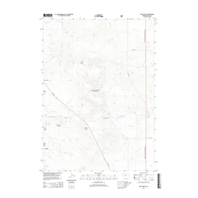
2014 Map of Wolf Butte
USGS Topo · Published 2014About this map
The Oglala National Grassland dominates this high plains landscape of Dawes County, characterized by a series of prominent buttes and an extensive network of ephemeral drainages. The settlement of Orella sits in the southwestern corner, positioned near the base of Sugar Loaf Butte and the Moody Reservoir. This area is defined by its topographic landmarks, including Wolf Butte, Strawstack Butte, and Twin Butte, which served as critical navigational points for early inhabitants and travelers across these grasslands.
Find a feature on this map
27 named features on this map. Tap any name to fly to it.
Don’t see what you’re looking for? This feature index may not catch every label — zoom into the map to look around manually.
Map Details
Editions of this 2014 Wolf Butte Map
This is the sole edition of this map. No revisions or reprints were ever made.
Other maps of this area

1896 · Oelrichs
USGS Topo · 1:125,000

1900 · Oelrichs
USGS Topo · 1:125,000

1902 · Edgemont
USGS Topo · 1:125,000

1955 · Hot Springs
USGS Topo · 1:250,000

1955 · Alliance
USGS Topo · 1:250,000

1957 · Alliance
USGS Topo · 1:250,000

1958 · Alliance
USGS Topo · 1:250,000

1980 · Horn
USGS Topo · 1:24,000

1980 · Wolf Butte
USGS Topo · 1:24,000

1980 · Lone Tree Ranch
USGS Topo · 1:24,000